Darnley, Glasgow

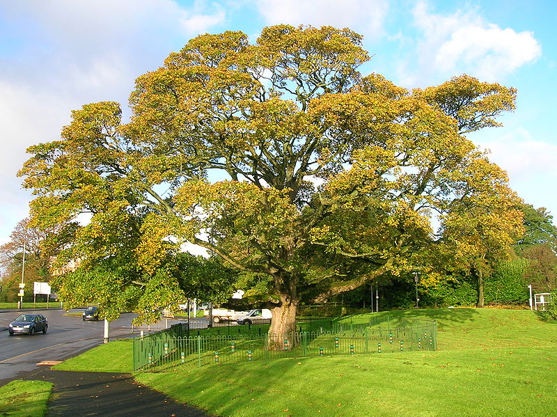
Gallery (2)
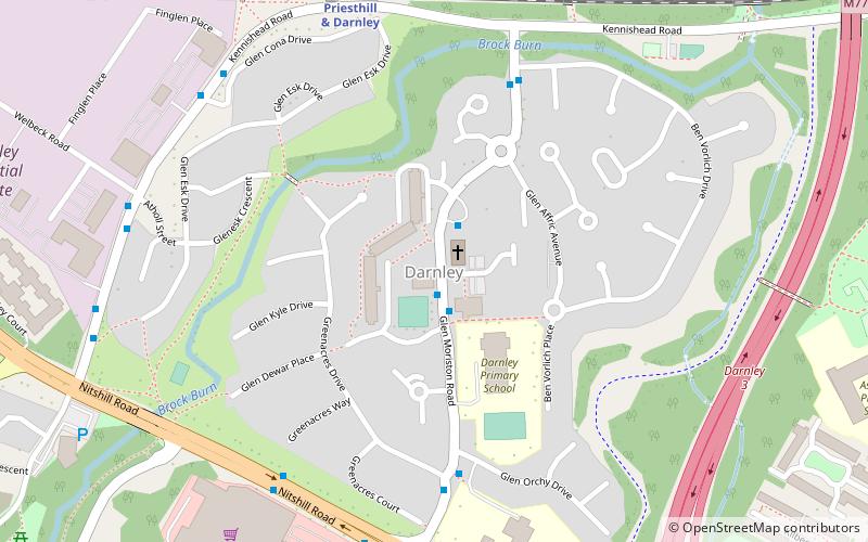
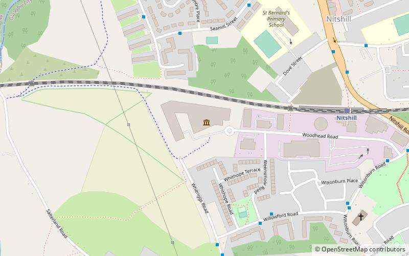
Map
Map
Gallery
Facts and practical information
Darnley is an area in south-west Glasgow, Scotland, on the A727 just west of Arden. Other nearby neighbourhoods are Priesthill to the north, Southpark Village to the south, and South Nitshill and Parkhouse to the west; there is also a small industrial estate. The closest railway station is Priesthill and Darnley. The Brock Burn flows through the area. ()
Coordinates: 55°48'32"N, 4°20'27"W
Address
DarnleyGlasgow
ContactAdd
Social media
Add
Getting there by public transportation
Public transportation stops near this location
- Bus
- Train
 Bus
Bus
- Calculate routePriesthill & Darnley 6 min walk
- Calculate routeKennishead 18 min walk
- Calculate routeNitshill 20 min walk
- Calculate routeThornliebank 30 min walk
- Calculate routeNitshill Road / Spiersbridge Avenue 20 min walk
- Calculate routeBarrhead Road / Damshot Road 26 min walk
Day trips


Frequently Asked Questions (FAQ)
Which popular attractions are close to Darnley?
Nearby attractions include Priesthill, Glasgow (12 min walk), Southpark Village, Glasgow (13 min walk), South Nitshill, Glasgow (18 min walk), Jenny Lind, Glasgow (21 min walk).
How to get to Darnley by public transport?
The nearest stations to Darnley:
Train
Bus
Train
- Priesthill & Darnley (6 min walk)
- Kennishead (18 min walk)
Bus
- Nitshill Road / Spiersbridge Avenue • Lines: 38 (20 min walk)
- Barrhead Road / Damshot Road • Lines: 3 (26 min walk)