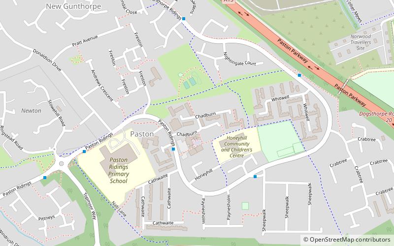
Paston, Peterborough
Map
Facts and practical information
Paston is a residential area and electoral ward of the city of Peterborough, Cambridgeshire in the United Kingdom. The area was mainly built and developed in the 1970s and 1980s. Before the development corporation acquired Paston Ridings in 1974, by use of Section 22 of the Commons Act 1899, everyone had right of access to the common land comprising approximately 20 acres. ()
Coordinates: 52°36'25"N, 0°14'31"W
Address
Peterborough
ContactAdd
Social media
Add
Getting there by public transportation
Public transportation stops near this location
- Bus
 Bus
Bus
- Calculate routeChadburn 2 min walk
- Calculate routeSheepwalk 4 min walk
- Calculate routeWasdale Gardens 5 min walk
- Calculate routeWhitwell 6 min walk
Day trips


Frequently Asked Questions (FAQ)
Which popular attractions are close to Paston?
Nearby attractions include Gunthorpe, Peterborough (12 min walk), John Mansfield School, Peterborough (20 min walk).
How to get to Paston by public transport?
The nearest stations to Paston:
Bus
Bus
- Chadburn • Lines: citi 2 (2 min walk)
- Sheepwalk • Lines: citi 2 (4 min walk)