The Wheatsheaf, Camberley
Map
Facts and practical information
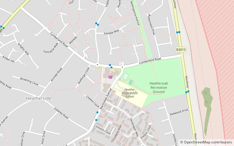
The Wheatsheaf is a grade II listed public house in Heatherside, Camberley, Surrey. It was designed by John and Sylvia Reid and opened in 1970. It has a distinctive ratchet-wheel design and connects to the local shopping precinct. ()
Coordinates: 51°19'47"N, 0°42'6"W
Address
21 Heatherside Ridge ArcadeHeathersideCamberley
Contact
+44 1276 28744
Social media
Add
Getting there by public transportation
Public transportation stops near this location
- Bus
 Bus
Bus
- Calculate routeThe Wheatsheaf 1 min walk
- Calculate routeConiston Close 4 min walk
- Calculate routeRedmayne Close 5 min walk
Day trips


Frequently Asked Questions (FAQ)
How to get to The Wheatsheaf by public transport?
The nearest stations to The Wheatsheaf:
Bus
Bus
- The Wheatsheaf • Lines: 48 (1 min walk)
- Coniston Close • Lines: 48 (4 min walk)