Tekels Park, Camberley

Map
Facts and practical information
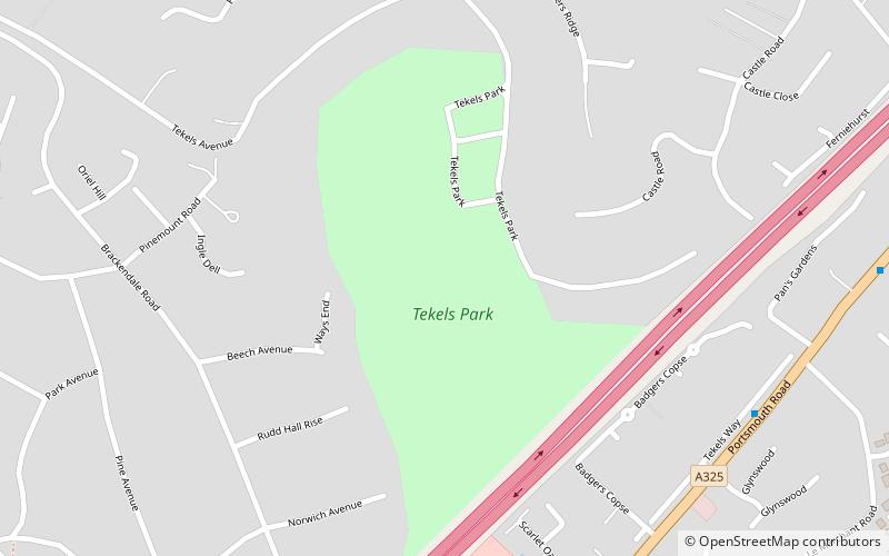
Tekels Park, Camberley, Surrey consists of about 20 hectares of land, grassland and houses. ()
Elevation: 285 ft a.s.l.Coordinates: 51°19'47"N, 0°44'6"W
Address
Camberley TownCamberley
ContactAdd
Social media
Add
Day trips
Tekels Park – popular in the area (distance from the attraction)
Nearby attractions include: Lakeside Leisure Complex, St Michael's Abbey, Frimley Green, Frimley Lodge Park.
Frequently Asked Questions (FAQ)
Which popular attractions are close to Tekels Park?
Nearby attractions include Camberley Library, Camberley (18 min walk), Camberley Obelisk, Camberley (20 min walk), St Tarcisius Church, Camberley (23 min walk).
How to get to Tekels Park by public transport?
The nearest stations to Tekels Park:
Bus
Train
Bus
- Shalbourne Rise • Lines: 34, 35 (12 min walk)
- Crawley Ridge • Lines: 34, 35 (13 min walk)
Train
- Camberley (16 min walk)


