Withdean, Brighton
Map

Map

Facts and practical information
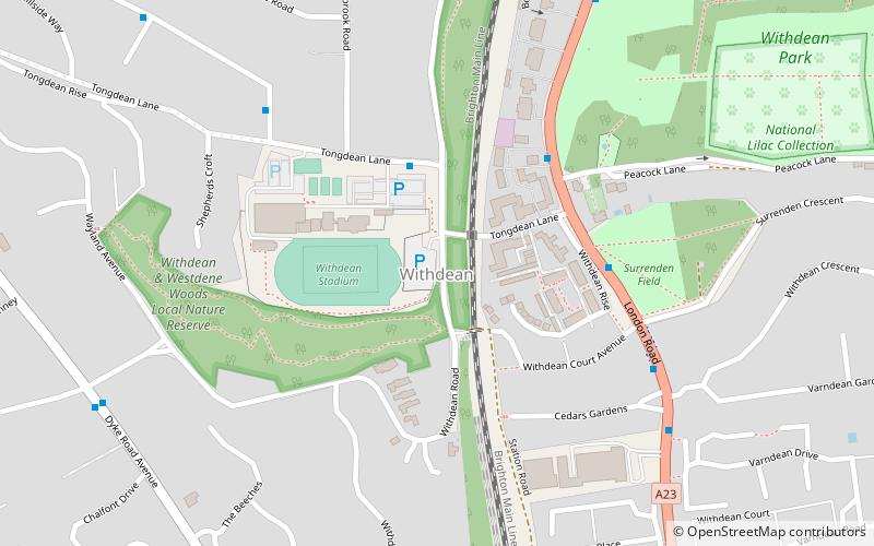
Withdean is a former village, now part of Brighton and Hove, East Sussex. ()
Coordinates: 50°51'8"N, 0°9'27"W
Address
Withdean (Westdene and Withdean)Brighton
ContactAdd
Social media
Add
Day trips
Withdean – popular in the area (distance from the attraction)
Nearby attractions include: Brighton & Hove Greyhound Stadium, Preston Manor, British Engineerium, St Mary's Church.
Frequently Asked Questions (FAQ)
Which popular attractions are close to Withdean?
Nearby attractions include Withdean and Westdene Woods, Brighton (5 min walk), Tower House, Brighton (10 min walk), Westdene, Brighton (14 min walk), St John the Evangelist's Church, Brighton (16 min walk).
How to get to Withdean by public transport?
The nearest stations to Withdean:
Bus
Train
Bus
- Withdean Sports Complex • Lines: 27, 27C (3 min walk)
- Tongdean Lane • Lines: 270, 271, 272, 273, 5, 5A (4 min walk)
Train
- Preston Park (12 min walk)
- Hove (34 min walk)


