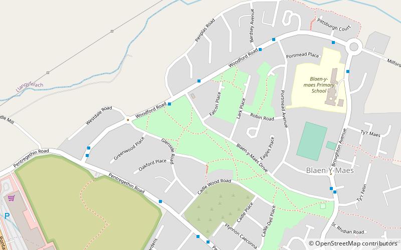
Blaen-y-Maes, Swansea
Map
Facts and practical information
Blaen-y-Maes is a local authority maintained housing estate of the City and County Swansea, Wales. It falls within the Penderry ward. ()
Coordinates: 51°39'18"N, 3°58'49"W
Address
PenderiSwansea
ContactAdd
Social media
Add
Getting there by public transportation
Public transportation stops near this location
- Bus
 Bus
Bus
- Calculate routePenplas Turning Point 12 min walk
- Calculate routeMarloes Court 13 min walk
- Calculate routeHeol Pen-tir-garw 15 min walk
- Calculate routeBroughton Avenue East 15 min walk
Day trips


Frequently Asked Questions (FAQ)
How to get to Blaen-y-Maes by public transport?
The nearest stations to Blaen-y-Maes:
Bus
Bus
- Penplas Turning Point • Lines: 27 (12 min walk)
- Marloes Court • Lines: 27 (13 min walk)