Tyne & Wear Archives & Museums, Newcastle upon Tyne
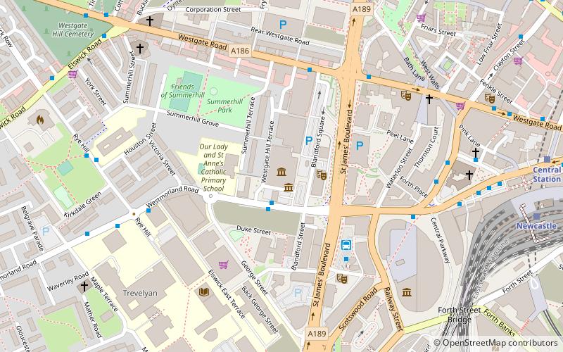
Map
Facts and practical information
Tyne & Wear Archives & Museums is a regional group of United Kingdom national museums and the county archives service located across the Tyne and Wear area of north-east England. They have been administered by a joint board of local authorities since the abolition of the Tyne and Wear Metropolitan County Council in 1986. ()
Coordinates: 54°58'9"N, 1°37'29"W
Address
WestgateNewcastle upon Tyne
ContactAdd
Social media
Add
Getting there by public transportation
Public transportation stops near this location
- Bus
- Light rail
- Train
 Bus
Bus
- Calculate routeWestmorland Road-Discovery Museum-E/B 1 min walk
- Calculate routeNewcastle Coach Station 4 min walk
- Calculate routeClayton Street West 5 min walk
- Calculate routeNewcastle 8 min walk
- Calculate routeManors 21 min walk
- Calculate routeCentral Station 9 min walk
- Calculate routeSt. James 10 min walk
- Calculate routeSt James 11 min walk
- Calculate routeMonument 14 min walk
Day trips


Frequently Asked Questions (FAQ)
Which popular attractions are close to Tyne & Wear Archives & Museums?
Nearby attractions include Discovery Museum, Newcastle upon Tyne (1 min walk), Tyne and Wear Archives, Newcastle upon Tyne (1 min walk), Powerhouse, Newcastle upon Tyne (3 min walk), Summerhill Bowling Club, Newcastle upon Tyne (5 min walk).
How to get to Tyne & Wear Archives & Museums by public transport?
The nearest stations to Tyne & Wear Archives & Museums:
Bus
Train
Light rail
Bus
- Westmorland Road-Discovery Museum-E/B • Lines: 1 (1 min walk)
- Newcastle Coach Station (4 min walk)
Train
- Newcastle (8 min walk)
- Manors (21 min walk)
Light rail
- Central Station • Lines: Green, Yellow (9 min walk)
- St. James • Lines: Yellow (10 min walk)