Lawnswood, Leeds

Gallery (4)
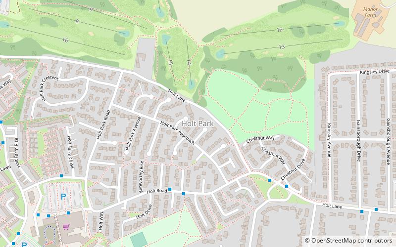
Map

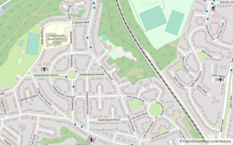
Map
Gallery
Facts and practical information
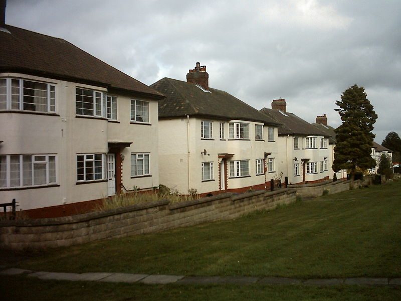
Lawnswood is a small suburb in the north west of the city of Leeds in West Yorkshire, England. As such it is north north east of the West Yorkshire Urban Area. The suburb falls within the Adel and Wharefdale Ward of the City of Leeds Council. ()
Coordinates: 53°50'50"N, 1°35'50"W
Address
Cookridge (Lawnswood)Leeds
ContactAdd
Social media
Add
Getting there by public transportation
Public transportation stops near this location
- Bus
 Bus
Bus
- Calculate routeLeeds Spen Lane 5 min walk
- Calculate routeOtley Road Lawns Hall Close 5 min walk
- Calculate routeOtley Road Lawnswood Crematorium 5 min walk
- Calculate routeOtley Old Road New Adel Road 6 min walk
Day trips


Frequently Asked Questions (FAQ)
Which popular attractions are close to Lawnswood?
Nearby attractions include Ireland Wood, Leeds (4 min walk), Holt Park, Leeds (21 min walk), Moor Grange, Leeds (23 min walk), West Park, Leeds (23 min walk).
How to get to Lawnswood by public transport?
The nearest stations to Lawnswood:
Bus
Bus
- Leeds Spen Lane • Lines: 6 (5 min walk)
- Otley Road Lawns Hall Close • Lines: 8 (5 min walk)