Claremont Square, London
Map

Map

Facts and practical information
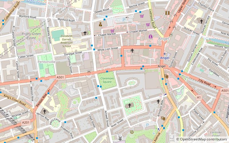
Claremont Square is a square in the Angel part of Islington, London. Its central green mound, hiding a reservoir, is dotted with mature trees on all four sides. On its north side is Pentonville Road. It is lined on the south, east and west sides by early-nineteenth-century houses, and on the north side, across the arterial road, by heavily recessed apartment/office buildings. Many of the houses have been internally subdivided. ()
Elevation: 138 ft a.s.l.Coordinates: 51°31'54"N, 0°6'35"W
Address
Islington (Clerkenwell)London
ContactAdd
Social media
Add
Day trips
Claremont Square – popular in the area (distance from the attraction)
Nearby attractions include: O2 Academy Islington, London Canal Museum, Electrowerkz, The Screen On The Green.
Frequently Asked Questions (FAQ)
Which popular attractions are close to Claremont Square?
Nearby attractions include Chapel Market, London (4 min walk), Cubitt Artists, London (4 min walk), Myddelton Square, London (4 min walk), Islington Farmers' Market, London (4 min walk).
How to get to Claremont Square by public transport?
The nearest stations to Claremont Square:
Bus
Metro
Train
Bus
- Penton Street / Chapel Market • Lines: 30 (1 min walk)
- Baron Street / Chapel Market • Lines: 30, N277 (2 min walk)
Metro
- Angel • Lines: Northern (6 min walk)
- King's Cross St Pancras • Lines: Circle, Hammersmith & City, Metropolitan, Northern, Piccadilly, Victoria (17 min walk)
Train
- London King's Cross (15 min walk)
- London St. Pancras International (19 min walk)

 Tube
Tube


