Exmouth Market, London
Map
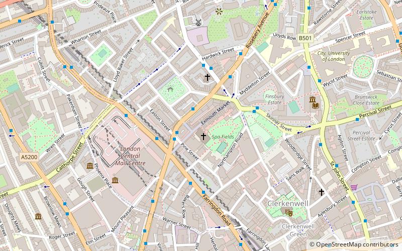
Map

Facts and practical information
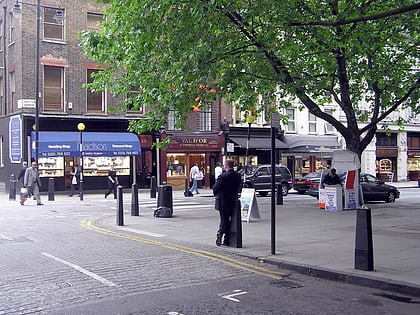
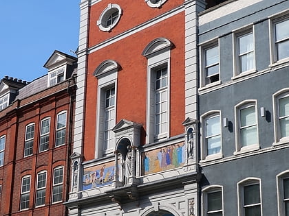
Exmouth Market is a semi-pedestrianised street in Clerkenwell in the London Borough of Islington, and the location of an outdoor street market of 32 stalls. ()
Coordinates: 51°31'33"N, 0°6'33"W
Day trips
Exmouth Market – popular in the area (distance from the attraction)
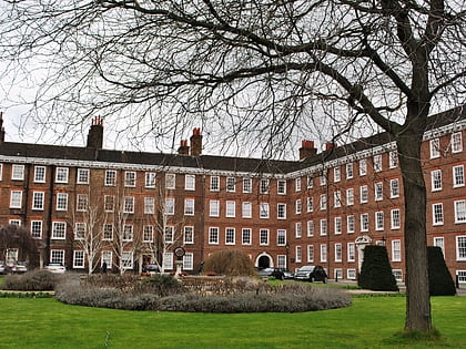
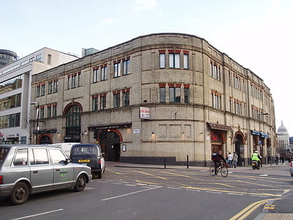
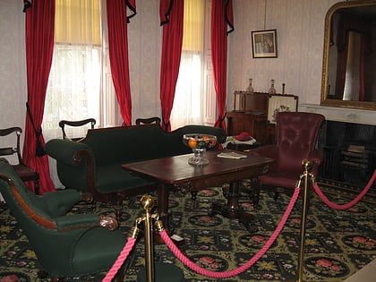
Nearby attractions include: Hatton Garden, Gray's Inn, Turnmills, Charles Dickens Museum.
Frequently Asked Questions (FAQ)
Which popular attractions are close to Exmouth Market?
Nearby attractions include Our Most Holy Redeemer, London (1 min walk), Finsbury Town Hall, London (5 min walk), Islington Museum, London (6 min walk), Clerkenwell, London (6 min walk).
How to get to Exmouth Market by public transport?
The nearest stations to Exmouth Market:
Bus
Metro
Train
Ferry
Light rail
Bus
- Tysoe Street • Lines: 38, N38 (1 min walk)
- Mount Pleasant • Lines: 38, N38 (3 min walk)
Metro
- Farringdon • Lines: Circle, Hammersmith & City, Metropolitan (11 min walk)
- Angel • Lines: Northern (12 min walk)
Train
- London King's Cross (20 min walk)
- City Thameslink (20 min walk)
Ferry
- Blackfriars Pier • Lines: Rb6 (29 min walk)
- Bankside Pier • Lines: Green Tour, Rb1, Rb1X, Rb2 (33 min walk)
Light rail
- Bank Platform 10 • Lines: B-L, B-Wa (34 min walk)

 Tube
Tube