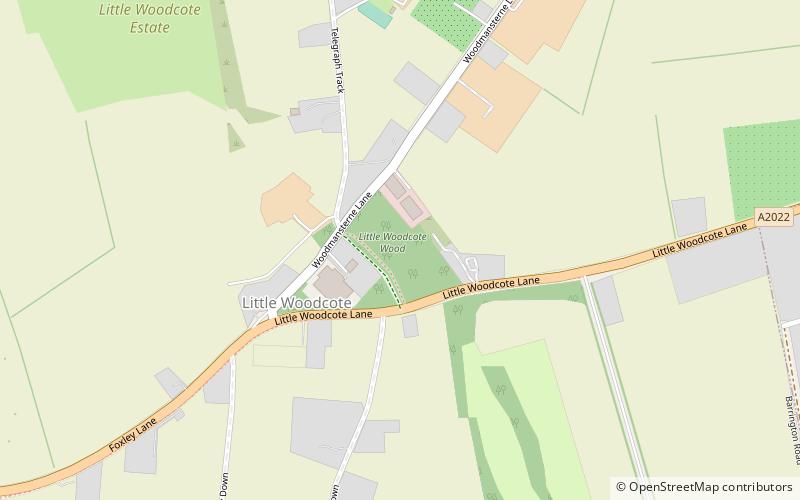
Little Woodcote, Banstead
Map
Facts and practical information
Little Woodcote is an area in the London Borough of Sutton, and also in the London Borough of Croydon and it is located in the south-east of the borough south of Woodcote Green and Carshalton on the Hill. Nearby is Oaks Park. The area falls within the Carshalton South and Clockhouse Ward of Sutton Borough. ()
Coordinates: 51°20'18"N, 0°9'19"W
Address
Sutton (Carshalton South and Clockhouse)Banstead
ContactAdd
Social media
Add
Getting there by public transportation
Public transportation stops near this location
- Bus
- Train
 Bus
Bus
- Calculate routeFarm Lane 13 min walk
- Calculate routeWoodcote Park 13 min walk
- Calculate routeSmitham Bottom Lane 14 min walk
- Calculate routeLordsbury Field 16 min walk
- Calculate routeCoulsdon Town 37 min walk
Day trips


Frequently Asked Questions (FAQ)
Which popular attractions are close to Little Woodcote?
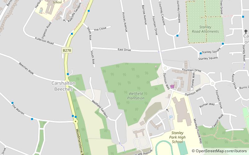
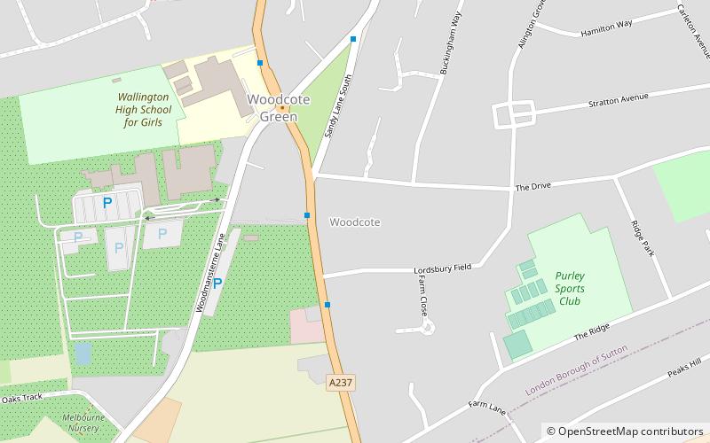
Nearby attractions include Oaks Park, London (15 min walk), Woodcote Green, Banstead (17 min walk), Woodcote, Coulsdon (21 min walk).
How to get to Little Woodcote by public transport?
The nearest stations to Little Woodcote:
Bus
Train
Bus
- Farm Lane • Lines: 127, 463, 612, 633 (13 min walk)
- Woodcote Park • Lines: 463, 633 (13 min walk)
Train
- Coulsdon Town (37 min walk)