Russell Hill, Banstead
Map
Facts and practical information
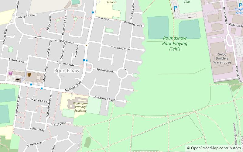
Russell Hill is an area in the London Borough of Croydon, located to the north-west of Purley. ()
Coordinates: 51°21'12"N, 0°7'36"W
Address
Sutton (Beddington South)Banstead
ContactAdd
Social media
Add
Getting there by public transportation
Public transportation stops near this location
- Bus
- Train
 Bus
Bus
- Calculate routeSpitfire Road 4 min walk
- Calculate routeSt Elphege's School 7 min walk
- Calculate routeRoundshaw / Phoenix Centre 7 min walk
- Calculate routeThe Newlands 12 min walk
- Calculate routeWaddon 27 min walk
- Calculate routeWallington 29 min walk
- Calculate routePurley 32 min walk
Day trips


Frequently Asked Questions (FAQ)
Which popular attractions are close to Russell Hill?
Nearby attractions include Roundshaw, Banstead (5 min walk), Roundshaw Downs, Warlingham (9 min walk), Colonnades Leisure Park, Warlingham (15 min walk), Peaks Hill, Banstead (17 min walk).
How to get to Russell Hill by public transport?
The nearest stations to Russell Hill:
Bus
Train
Bus
- Spitfire Road • Lines: 154, 455, S4 (4 min walk)
- St Elphege's School • Lines: 154, 455, S4 (7 min walk)
Train
- Waddon (27 min walk)
- Wallington (29 min walk)