Peaks Hill, Banstead
Map

Map

Facts and practical information
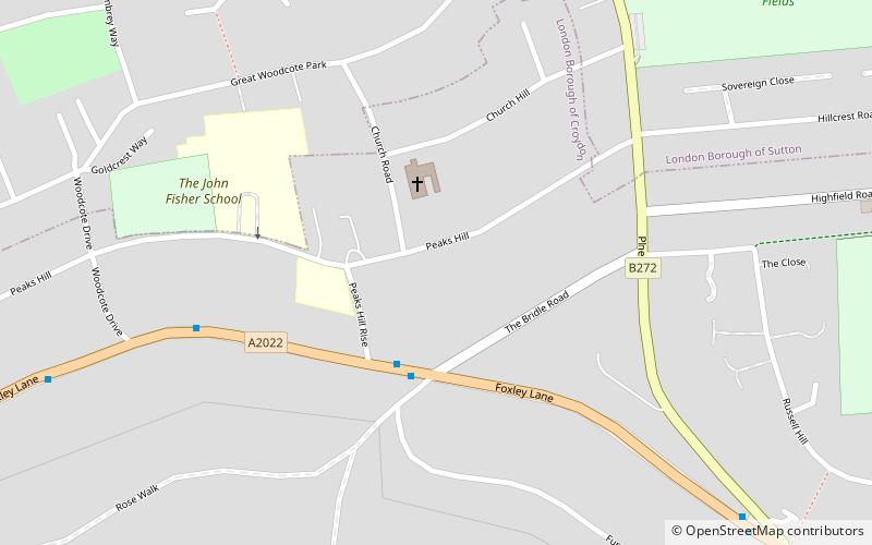
Peaks Hill is an area of Purley in the London Borough of Croydon, London, England. It is a small leafy neighbourhood and is home to two Roman Catholic schools, The John Fisher School and Laleham Lea Primary School, a co-educational prep school. ()
Coordinates: 51°20'38"N, 0°7'48"W
Address
Croydon (Purley)Banstead
ContactAdd
Social media
Add
Day trips
Peaks Hill – popular in the area (distance from the attraction)
Nearby attractions include: Wallington Town Hall, Roundshaw Downs, Colonnades Leisure Park, Purley.
Frequently Asked Questions (FAQ)
Which popular attractions are close to Peaks Hill?
Nearby attractions include Russell Hill, Banstead (17 min walk), Roundshaw, Banstead (17 min walk), Roundshaw Downs, Warlingham (18 min walk), Woodcote Green, Banstead (18 min walk).
How to get to Peaks Hill by public transport?
The nearest stations to Peaks Hill:
Bus
Train
Bus
- The Bridle Road • Lines: 127, 612 (3 min walk)
- Woodcote Drive • Lines: 127, 612 (7 min walk)
Train
- Purley (22 min walk)
- Reedham (24 min walk)


