Saltash Passage, Plymouth
Map
Facts and practical information
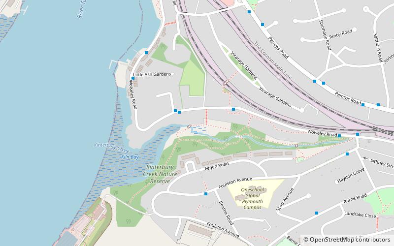
Saltash Passage is on the Devon side of the River Tamar, opposite Saltash. It is part of St Budeaux, an area of Plymouth in Devon. Saltash Passage lies at the northern end of Wolseley Road, previously known as Ferry Road. The local railway station continues to be known as Ferry Road Station. Saltash Passage is named after the ferry route that carried passengers and vehicles between Saltash in Cornwall and Plymouth, across the River Tamar. The ferry became uneconomic following the construction of the Tamar Bridge in 1961. Saltash Passage is a popular leisure destination for the locals as well as tourists in summer. ()
Coordinates: 50°24'11"N, 4°11'56"W
Address
St. BudeauxPlymouth
ContactAdd
Social media
Add
Getting there by public transportation
Public transportation stops near this location
- Bus
- Train
 Bus
Bus
- Calculate routeSt Budeaux Victoria Road 13 min walk
- Calculate routeSaltash 14 min walk
- Calculate routeSt Budeaux Ferry Road 14 min walk
- Calculate routeKeyham 32 min walk
- Calculate routeVictoria Road Library 14 min walk
- Calculate routeEvelyn Street 15 min walk
- Calculate routeSt Budeaux Square 16 min walk
- Calculate routeFore Street Bottom 17 min walk
Day trips


Frequently Asked Questions (FAQ)
Which popular attractions are close to Saltash Passage?
Nearby attractions include Royal Albert Bridge, Saltash (10 min walk), Tamar Bridge, Plymouth (11 min walk), St Budeaux, Bere Ferrers (14 min walk), Church of St Nicholas and St Faith, Saltash (15 min walk).
How to get to Saltash Passage by public transport?
The nearest stations to Saltash Passage:
Train
Bus
Train
- St Budeaux Victoria Road (13 min walk)
- Saltash (14 min walk)
Bus
- Victoria Road Library • Lines: 44A (14 min walk)
- Evelyn Street • Lines: 44A (15 min walk)