Warleigh Weir, Bath
Map

Gallery

Facts and practical information
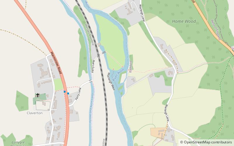
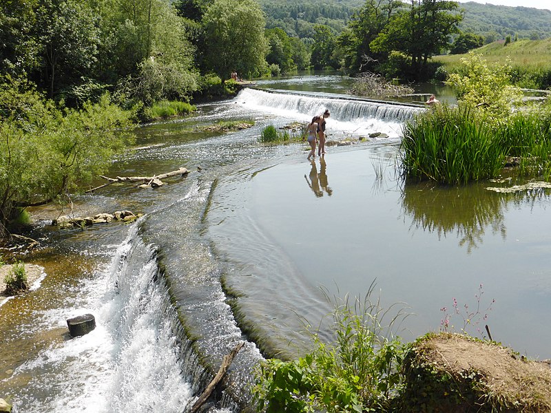
Warleigh Weir is a river structure located on the River Avon in Somerset, near Bath. The weir was originally built to supply a head of water to a grist mill in Claverton. The weir was subsequently raised by a height of 12 inches between 1809 and 1813 as part of the construction program for the Claverton Pumping Station, which sits on the site of the old grist mill. ()
Coordinates: 51°22'37"N, 2°18'1"W
Address
Bath
ContactAdd
Social media
Add
Day trips
Warleigh Weir – popular in the area (distance from the attraction)
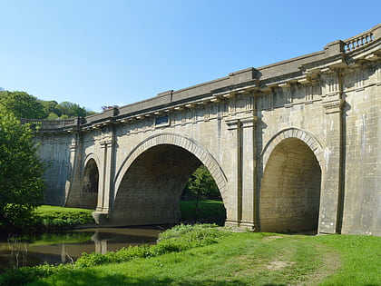
Nearby attractions include: Dundas Aqueduct, Claverton Pumping Station, Browne's Folly, Kennet and Avon Canal.
Frequently Asked Questions (FAQ)
Which popular attractions are close to Warleigh Weir?
Nearby attractions include Claverton Pumping Station, Cotswold Water Park (3 min walk), Kennet and Avon Canal, Cotswold Water Park (4 min walk), American Museum in Britain, Cotswold Water Park (12 min walk).
How to get to Warleigh Weir by public transport?
The nearest stations to Warleigh Weir:
Bus
Bus
- The Avenue • Lines: U18 (27 min walk)
- Arrivals Square • Lines: 18, 418, U18 (28 min walk)


