St John's in the Vale, Lake District National Park
Map

Gallery

Facts and practical information
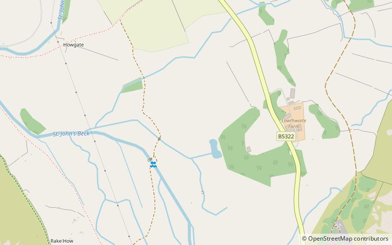
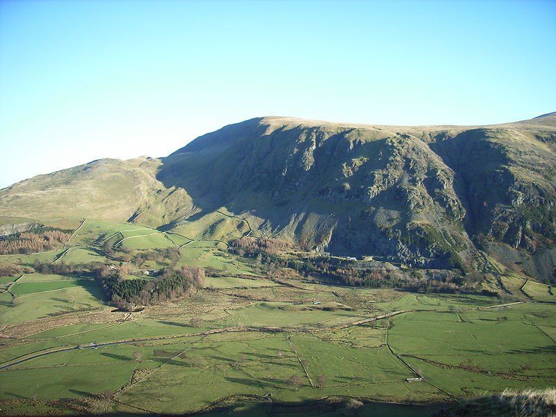
St John’s in the Vale is a glacial valley in the Lake District National Park, Cumbria, England. Within the vale are a number of farms and small settlements, in addition to several disused quarry and mining works. St John’s Beck meanders northward along the floor of the vale, and is the main outflow from Thirlmere reservoir, which is located to the south. Alongside the beck runs the B5322, St John’s in the Vale Road. ()
Coordinates: 54°35'35"N, 3°3'36"W
Address
Lake District National Park
ContactAdd
Social media
Add
Day trips
St John's in the Vale – popular in the area (distance from the attraction)
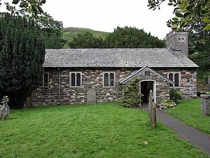
Nearby attractions include: Threlkeld Quarry and Mining Museum, St John's Church, High Rigg, Clough Head.
Frequently Asked Questions (FAQ)
How to get to St John's in the Vale by public transport?
The nearest stations to St John's in the Vale:
Train
Bus
Train
- Threlkeld Quarry (32 min walk)
Bus
- Shoulthwaite Farm • Lines: 555 (39 min walk)


