Rhiw Llwyd, Snowdonia National Park

Map
Facts and practical information
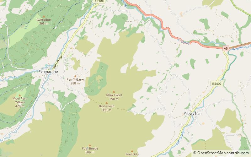
Rhiw Llwyd is the name of an early medieval Wales lordship which was created in the Kingdom of Gwynedd in the 12th century for Tomas ap Rhodri ab Owain Gwynedd and his successors. The location of this lordship is not certain but it seems likely it refers to a hill of the same name between Penmachno and Ysbyty Ifan in Gwynedd. The precise spelling of the name "Rhiw Llwyd" varies in historic documents, ranging from "Friw", "Friwllwyd", "Rhiwlwyd" and others. ()
Coordinates: 53°2'10"N, 3°45'50"W
Address
Snowdonia National Park
ContactAdd
Social media
Add
Day trips
Rhiw Llwyd – popular in the area (distance from the attraction)
Nearby attractions include: Conwy Falls, Llyn Elsi, Conwy Valley Railway Museum, Tŷ Mawr Wybrnant.


