Newcastle College, Newcastle upon Tyne
Map

Gallery

Facts and practical information
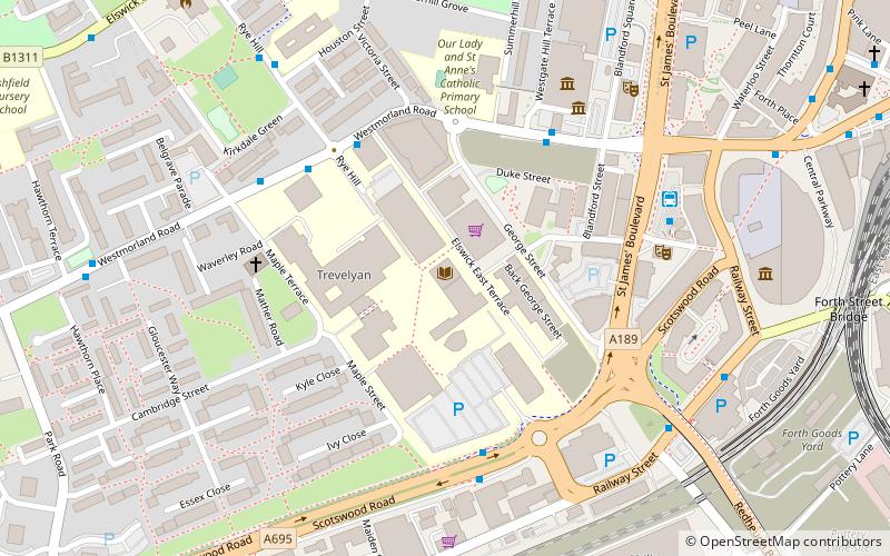
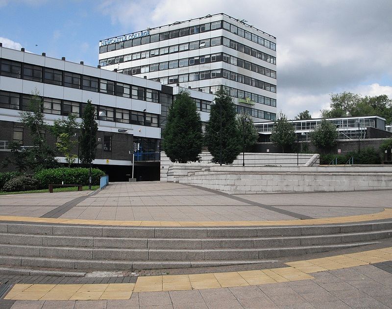
Newcastle College is a large further education and higher education college in Newcastle upon Tyne, with more than 16,000 students enrolled each year on a variety of full time, part time, and distance learning. It is the largest further education college in the North East of England and one of the largest in the United Kingdom. ()
Coordinates: 54°58'1"N, 1°37'38"W
Day trips
Newcastle College – popular in the area (distance from the attraction)
Nearby attractions include: Centre for Life, Tup Tup Palace, Metro Radio Arena, The Gate.
Frequently Asked Questions (FAQ)
Which popular attractions are close to Newcastle College?
Nearby attractions include Tyne and Wear Archives, Newcastle upon Tyne (5 min walk), Tyne & Wear Archives & Museums, Newcastle upon Tyne (5 min walk), Discovery Museum, Newcastle upon Tyne (5 min walk), Powerhouse, Newcastle upon Tyne (6 min walk).
How to get to Newcastle College by public transport?
The nearest stations to Newcastle College:
Bus
Train
Light rail
Bus
- Westmorland Road-Discovery Museum-W/B • Lines: 1 (4 min walk)
- Westmorland Road-Rye Hill-W/B • Lines: 1, 32 (4 min walk)
Train
- Newcastle (11 min walk)
- Manors (24 min walk)
Light rail
- Central Station • Lines: Green, Yellow (12 min walk)
- St. James • Lines: Yellow (14 min walk)


