Clarendon Park, Leicester
Map
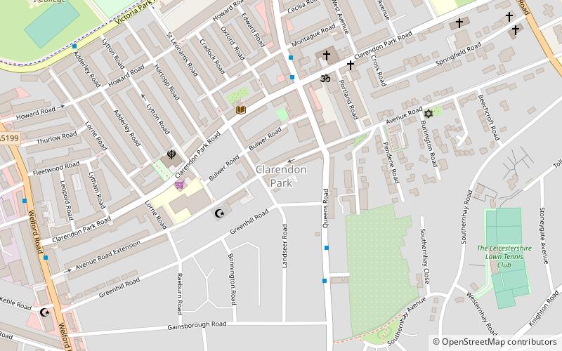
Map

Facts and practical information
Clarendon Park is an area in the south of the city of Leicester. It is bordered by Welford Road to the west, London Road to the east, Victoria Park to the north and Avenue Road/Avenue Road Extension to the south. It is part of Castle Ward and the constituency of Leicester South. There are two major shopping streets; Queens Road and Clarendon Park Road. These two roads intersect near the centre of Clarendon Park, with Queens Road running north–south, and Clarendon Park Road running east–west. ()
Coordinates: 52°36'55"N, 1°7'2"W
Address
Leicester South (Castle)Leicester
ContactAdd
Social media
Add
Day trips
Clarendon Park – popular in the area (distance from the attraction)
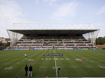
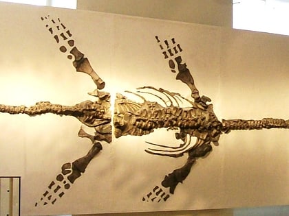
Nearby attractions include: Welford Road Stadium, Victoria Park, Gas Museum, Leicester Museum & Art Gallery.
Frequently Asked Questions (FAQ)
Which popular attractions are close to Clarendon Park?
Nearby attractions include Clarendon Park Congregational Church, Leicester (10 min walk), Stoneygate, Leicester (13 min walk), Attenborough Building, Leicester (13 min walk), Victoria Park, Leicester (13 min walk).
How to get to Clarendon Park by public transport?
The nearest stations to Clarendon Park:
Train
Train
- Leicester (31 min walk)

