Gortalowry, Cookstown

Map
Facts and practical information
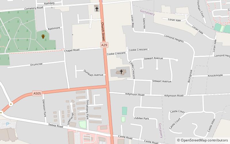
Gortalowry is a townland in County Tyrone, Northern Ireland. It is situated in the barony of Dungannon Upper and the civil parish of Derryloran and covers an area of 281 acres. The townland is partly rural, but includes the southern part of the town of Cookstown. ()
Coordinates: 54°38'12"N, 6°44'35"W
Address
Cookstown
ContactAdd
Social media
Add
Day trips
Gortalowry – popular in the area (distance from the attraction)
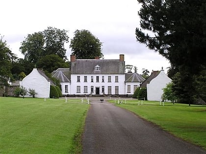
Nearby attractions include: Springhill House, Drum Manor Forest Park, Lissan House, Killymoon Castle.
Frequently Asked Questions (FAQ)
Which popular attractions are close to Gortalowry?
Nearby attractions include Killymoon Castle, Cookstown (8 min walk), Cookstown Library, Cookstown (20 min walk).


