Roughan Castle

Gallery (1)
Map

Map
Facts and practical information
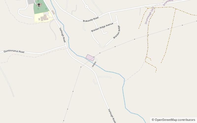
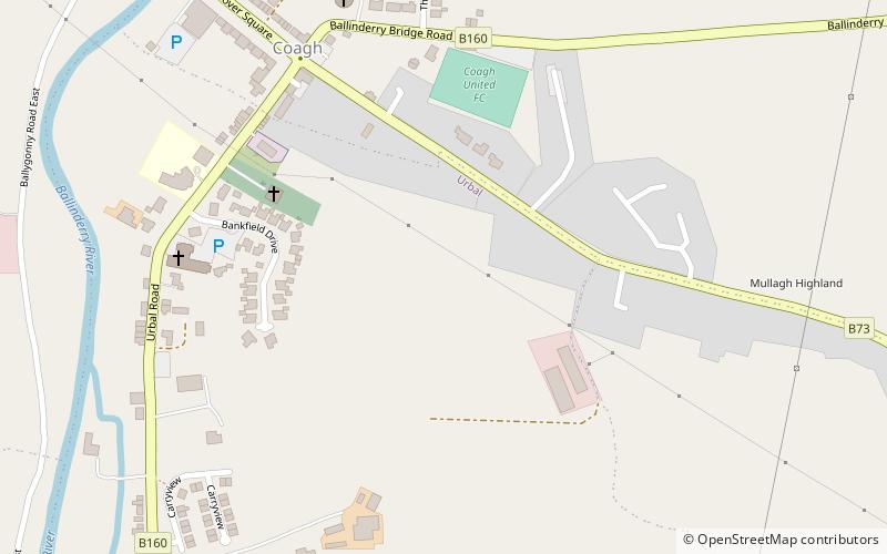
Roughan Castle is a place located in the United Kingdom and belongs to the category of forts and castles.
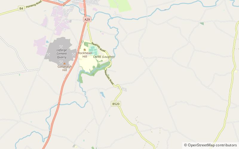
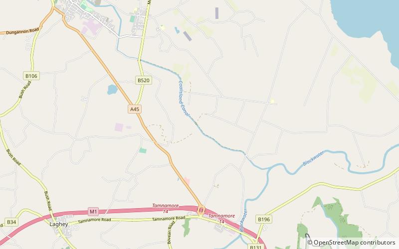
It is situated at an altitude of 269 feet, and its geographical coordinates are 54°34'23"N latitude and 6°45'7"W longitude.
Among other places and attractions worth visiting in the area are: Dukart's Canal (canal, 48 min walk), Tullyhogue FortCookstown (archaeological site, 72 min walk), Coalisland (town, 79 min walk).
Coordinates: 54°34'23"N, 6°45'7"W
Location
Northern Ireland
ContactAdd
Social media
Add
Day trips