Nomansland, Ayot St Lawrence

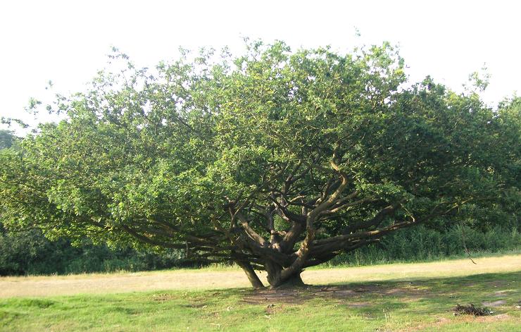
Gallery (2)
Map
Map
Gallery
Facts and practical information
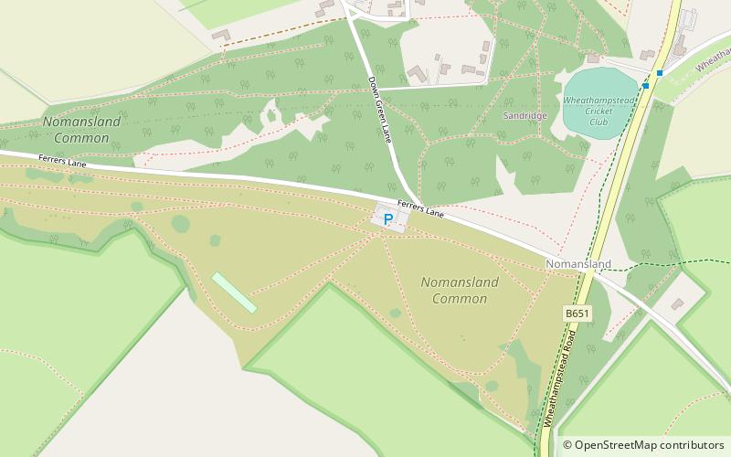
Nomansland Common is an area of common land in Hertfordshire, England to the south of Harpenden and the south-west of Wheathampstead ()
Elevation: 308 ft a.s.l.Coordinates: 51°47'51"N, 0°18'13"W
Getting there by public transportation
Public transportation stops near this location
- Bus
 Bus
Bus
- Calculate routeThe Wicked Lady PH 9 min walk
- Calculate routeHill Dyke Road 18 min walk
- Calculate routeWalnut Court 23 min walk
- Calculate routeLangley Grove 25 min walk
Day trips


Frequently Asked Questions (FAQ)
How to get to Nomansland by public transport?
The nearest stations to Nomansland:
Bus
Bus
- The Wicked Lady PH • Lines: 612 (9 min walk)
- Hill Dyke Road • Lines: 612 (18 min walk)