York Franciscan Friary, York

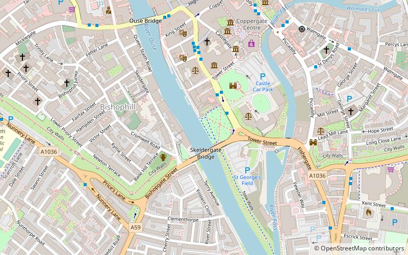
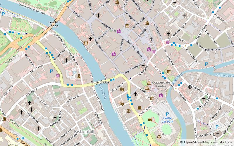
Map
Facts and practical information
York Franciscan Friary was a friary in York, North Yorkshire, England. It was located between York Castle and the River Ouse. In 1538, it fell victim to Henry VIII's Dissolution of the Monasteries. All that now remains of it is a stone wall on King's Staith, adjacent to the Davy Tower on the York city walls. ()
Coordinates: 53°57'17"N, 1°4'53"W
Address
GuildhallYork
ContactAdd
Social media
Add
Day trips
York Franciscan Friary – popular in the area (distance from the attraction)
Nearby attractions include: Clifford's Tower, Spurriergate Centre, Coppergate Shopping Centre, York Castle Museum.
Frequently Asked Questions (FAQ)
Which popular attractions are close to York Franciscan Friary?
Nearby attractions include Skeldergate, York (2 min walk), York Debtor's Prison, York (2 min walk), Clifford's Tower, York (3 min walk), Baile Hill, York (3 min walk).
How to get to York Franciscan Friary by public transport?
The nearest stations to York Franciscan Friary:
Bus
Train
Bus
- Clifford Street • Lines: 66 (4 min walk)
- Low Ousegate • Lines: 10 (6 min walk)
Train
- York (14 min walk)


