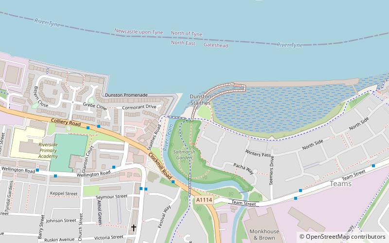
Dunston Staiths, Newcastle upon Tyne


Facts and practical information
Dunston is particularly known for wooden coal staiths, first opened in 1893 as a structure for loading coal from the North Durham coalfield onto ships. In the 1920s, 140,000 tons of coal per week were loaded from the staiths, and they continued to be used until the 1970s. They were also a shipping point for coke produced at the nearby Norwood Coke Works, as well as pencil pitch manufactured at the Thomas Ness Tar Works using by-products from the Norwood plant and the Redheugh Gasworks. Throughout their working life, motive power for shunting wagons on the staiths and in their extensive sidings known as the Norwood Coal Yard came in the form of locomotives from Gateshead MPD. The staiths' output gradually declined with the contraction of the coal industry, and they were finally closed and partially dismantled in 1980. Now redundant, the railway lines leading to the staiths were lifted, finally allowing the demolition of several low bridges that had become a nuisance to bus operators by limiting the routes available to double-deckers in the area. For many years, the men who worked on the staiths, known as teemers and trimmers, had their own room in the nearby Dunston Excelsior Club. For anyone not employed in the club or on the staiths, access to the room was strictly by invite only, and the staithesmen held a reputation for unceremoniously ejecting anyone who fell foul of this rule. ()
Newcastle upon Tyne
Dunston Staiths – popular in the area (distance from the attraction)
Nearby attractions include: Centre for Life, Metro Radio Arena, The Gate, High Level Bridge.
Frequently Asked Questions (FAQ)
Which popular attractions are close to Dunston Staiths?
How to get to Dunston Staiths by public transport?
Bus
- Gas Works Bridge Road-Riverside Inn-E/B • Lines: 97 (3 min walk)
- Colliery Road-W/B • Lines: 97 (5 min walk)
Train
- Dunston (14 min walk)
- Newcastle (29 min walk)
Light rail
- Central Station • Lines: Green, Yellow (30 min walk)
- Monument • Lines: Green, Yellow (38 min walk)


