Glory Wood and Devil's Den, Dorking

Gallery (1)
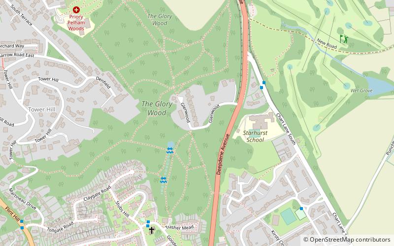
Map
Map
Facts and practical information
Glory Wood and Devil's Den is a 13-hectare nature reserve south-east of Dorking in Surrey. It is owned by Mole Valley District Council, and was managed by the Surrey Wildlife Trust until 1 April 2019. There is a bowl barrow dating to the Late Neolithic or Bronze Age in Glory Wood. ()
Elevation: 344 ft a.s.l.Coordinates: 51°13'19"N, 0°19'19"W
Address
Dorking
ContactAdd
Social media
Add
Getting there by public transportation
Public transportation stops near this location
- Bus
- Train
 Bus
Bus
- Calculate routeChart Lane South 4 min walk
- Calculate routeChart Downs Estate 7 min walk
- Calculate routeDeepdene House 16 min walk
- Calculate routeTownfield Court 18 min walk
- Calculate routeDorking Deepdene 30 min walk
- Calculate routeDorking West 33 min walk
Day trips


Frequently Asked Questions (FAQ)
Which popular attractions are close to Glory Wood and Devil's Den?
Nearby attractions include Deepdene Terrace, Dorking (12 min walk), St Joseph's Church, Dorking (18 min walk), Dorking Caves, Dorking (21 min walk), St Martin's Church, Dorking (23 min walk).
How to get to Glory Wood and Devil's Den by public transport?
The nearest stations to Glory Wood and Devil's Den:
Bus
Train
Bus
- Chart Lane South • Lines: 22 (4 min walk)
- Chart Downs Estate • Lines: 22 (7 min walk)
Train
- Dorking Deepdene (30 min walk)
- Dorking West (33 min walk)