Dorking Caves, Dorking
Map
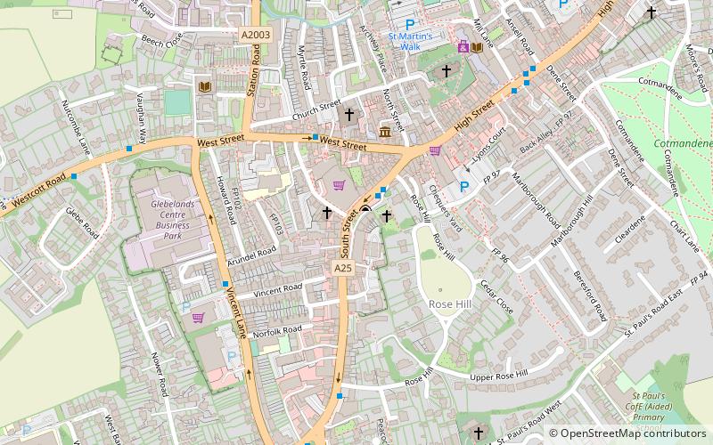
Map

Facts and practical information
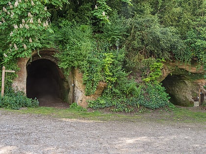
The Dorking Caves are a network of manmade tunnels excavated in the soft sandstone of the Upper Greensand deposits beneath Dorking in Surrey, England. ()
Coordinates: 51°13'50"N, 0°20'3"W
Address
Dorking
ContactAdd
Social media
Add
Day trips
Dorking Caves – popular in the area (distance from the attraction)
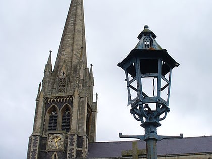
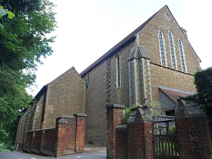
Nearby attractions include: Denbies Wine Estate, St Martin's Church, Pixham, St Joseph's Church.
Frequently Asked Questions (FAQ)
Which popular attractions are close to Dorking Caves?
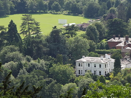
Nearby attractions include St Martin's Church, Dorking (5 min walk), Vale of Holmesdale, Dorking (6 min walk), St Joseph's Church, Dorking (9 min walk), Milton Heath and The Nower, Dorking (17 min walk).
How to get to Dorking Caves by public transport?
The nearest stations to Dorking Caves:
Bus
Train
Bus
- West Street • Lines: 93 (3 min walk)
- Vincent Lane • Lines: 21, 22, 32, 465, 93 (4 min walk)
Train
- Dorking West (12 min walk)
- Dorking Deepdene (19 min walk)
