St Joseph's Church, Dorking
Map
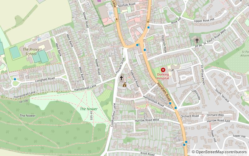
Map

Facts and practical information
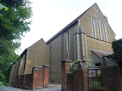
St Joseph's Church is a Roman Catholic Church in Dorking, Surrey. It was founded in 1872 with help from the Duke of Norfolk. It is situated in Falkland Grove in the town. It is the only Catholic parish church in Dorking and is served by the Diocese of Arundel and Brighton. ()
Completed: 1895 (131 years ago)Coordinates: 51°13'33"N, 0°20'11"W
Day trips
St Joseph's Church – popular in the area (distance from the attraction)
Nearby attractions include: St Martin's Church, Pixham, Milton Heath and The Nower, Deepdene Terrace.
Frequently Asked Questions (FAQ)
Which popular attractions are close to St Joseph's Church?
Nearby attractions include Dorking Caves, Dorking (9 min walk), Milton Heath and The Nower, Dorking (11 min walk), St Martin's Church, Dorking (14 min walk), Vale of Holmesdale, Dorking (14 min walk).
How to get to St Joseph's Church by public transport?
The nearest stations to St Joseph's Church:
Bus
Train
Bus
- Townfield Court • Lines: 93 (3 min walk)
- South Street / Rose Hill • Lines: 465 (5 min walk)
Train
- Dorking West (20 min walk)
- Dorking Deepdene (27 min walk)
