Beacon Brook, Quorn

Map
Facts and practical information
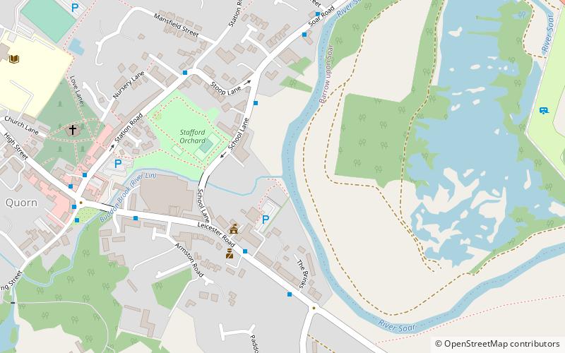
Beacon Brook is a brook which runs through North Leicestershire. The source of the rivulet is in Beacon, near Woodhouse Eaves. The water way runs through Beaumanor Hall before there is a convergence with the River Lin in Quorn. The river runs for around 6 kilometres between its source and confluence with the River Lin. ()
Coordinates: 52°44'35"N, 1°9'50"W
Address
Quorn
ContactAdd
Social media
Add
Day trips
Beacon Brook – popular in the area (distance from the attraction)
Nearby attractions include: Stonehurst Family Farm and Motor Museum, St Bartholomew's Church, Soar Valley, Barrow upon sea.
Frequently Asked Questions (FAQ)
Which popular attractions are close to Beacon Brook?
Nearby attractions include St Bartholomew's Church, Quorn (7 min walk), Quorn Baptist Church, Quorn (13 min walk), Flesh Hovel Lane, Quorn (15 min walk), Barrow upon sea, Barrow upon Soar (23 min walk).


