Wecock Farm, Waterlooville

Map
Facts and practical information
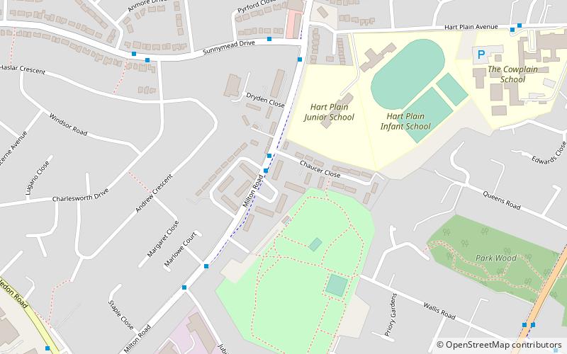
Wecock Farm is a 1970s council estate on the western edges of Waterlooville originally built by Portsmouth City Council. Its lineage can be traced back to the 16th century and is described as 'a place called Wycock' in 1591 ()
Coordinates: 50°53'24"N, 1°1'59"W
Address
Waterlooville
ContactAdd
Social media
Add
Day trips
Wecock Farm – popular in the area (distance from the attraction)
Nearby attractions include: Fort Widley, Waterlooville Baptist Church, Southwick Priory, Camp Down.
Frequently Asked Questions (FAQ)
Which popular attractions are close to Wecock Farm?
Nearby attractions include Waterlooville Baptist Church, Waterlooville (12 min walk), Forest of Bere, Waterlooville (18 min walk).


