Hawbush, Stourbridge

Map
Facts and practical information
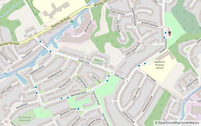
Hawbush is a council estate in Brierley Hill, West Midlands, England. It was built in the 1920s and 1930s. ()
Coordinates: 52°28'41"N, 2°8'45"W
Address
Dudley (Brierley Hill)Stourbridge
ContactAdd
Social media
Add
Day trips
Hawbush – popular in the area (distance from the attraction)
Nearby attractions include: Red House Glass Cone, Delph Locks, The Lace Guild, Stourbridge Canal.
Frequently Asked Questions (FAQ)
Which popular attractions are close to Hawbush?
Nearby attractions include Red House Glass Cone, Stourbridge (13 min walk), The Lace Guild, Stourbridge (14 min walk), Stourbridge Canal, Stourbridge (19 min walk), Ruskin Glass Centre, Stourbridge (22 min walk).
How to get to Hawbush by public transport?
The nearest stations to Hawbush:
Bus
Bus
- Swanfield Rd / Swan Lane • Lines: 250 (2 min walk)
- Blackthorn Rd / Whitethorn Road • Lines: 250 (5 min walk)


