Stourbridge Canal, Stourbridge
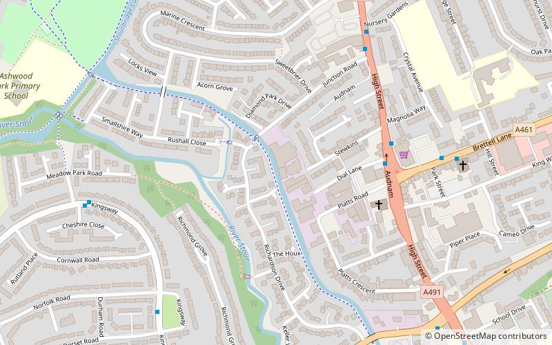
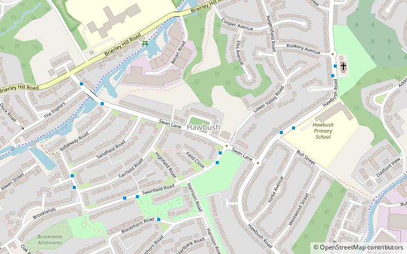
Map

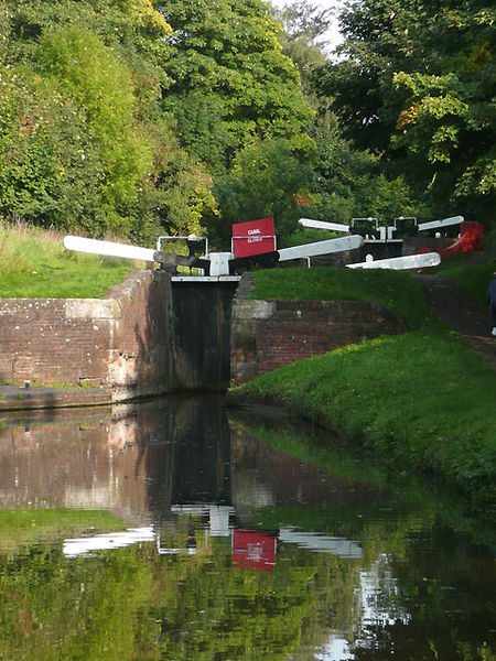
Gallery

Facts and practical information
The Stourbridge Canal is a canal in the West Midlands of England. It links the Staffordshire and Worcestershire Canal with the Dudley Canal, and hence, via the Birmingham Canal Navigations, to Birmingham and the Black Country. ()
Length: 5.25 miCoordinates: 52°28'15"N, 2°9'31"W
Address
Dudley (Amblecote)Stourbridge
ContactAdd
Social media
Add
Day trips
Stourbridge Canal – popular in the area (distance from the attraction)
Nearby attractions include: Stourbridge Library, Red House Glass Cone, St Thomas' Church, The Lace Guild.
Frequently Asked Questions (FAQ)
Which popular attractions are close to Stourbridge Canal?
Nearby attractions include The Lace Guild, Stourbridge (5 min walk), Ruskin Glass Centre, Stourbridge (9 min walk), Red House Glass Cone, Stourbridge (10 min walk), Hawbush, Stourbridge (19 min walk).
How to get to Stourbridge Canal by public transport?
The nearest stations to Stourbridge Canal:
Bus
Train
Bus
- Audnam / Brettell Lane • Lines: 16, 5, 57 (4 min walk)
- Camp Hill / Junction Rd • Lines: 16 (6 min walk)
Train
- Stourbridge Town (32 min walk)


