Amblecote, Stourbridge

Gallery (1)
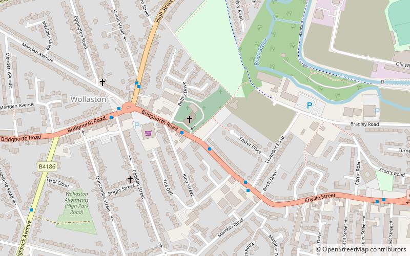
Map
Map
Facts and practical information
Amblecote is an urban village and one of the most affluent areas in the Metropolitan Borough of Dudley in the West Midlands, England. It lies immediately north of the historic town of Stourbridge, extending about one and a half miles from it, and is on the southwestern edge of the West Midlands conurbation. Historically, Amblecote was in the parish of Oldswinford, but unlike the rest of the parish it was in Staffordshire, and as such was administered separately. ()
Address
Dudley (Wollaston)Stourbridge
ContactAdd
Social media
Add
Getting there by public transportation
Public transportation stops near this location
- Bus
- Train
 Bus
Bus
- Calculate routeBridgnorth Rd / King St 1 min walk
- Calculate routeHigh St / Wollaston Junction 4 min walk
- Calculate routeStourbridge Town 21 min walk
- Calculate routeStourbridge Junction 36 min walk
Day trips


Frequently Asked Questions (FAQ)
Which popular attractions are close to Amblecote?
Nearby attractions include Ruskin Glass Centre, Stourbridge (14 min walk), St Thomas' Church, Stourbridge (14 min walk), Stourbridge Library, Stourbridge (14 min walk), Stourbridge Canal, Stourbridge (19 min walk).
How to get to Amblecote by public transport?
The nearest stations to Amblecote:
Bus
Train
Bus
- Bridgnorth Rd / King St • Lines: 250, 8 (1 min walk)
- High St / Wollaston Junction • Lines: 8 (4 min walk)
Train
- Stourbridge Town (21 min walk)
- Stourbridge Junction (36 min walk)