Pembrokeshire Coalfield, Pembrokeshire Coast National Park

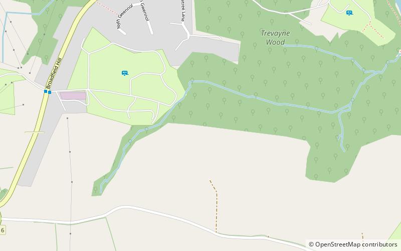
Map
Facts and practical information
The Pembrokeshire Coalfield in West Wales is one of the smallest British coalfields, but continuously worked from the 14th to 20th centuries. The main coalfield extends across south Pembrokeshire from Saundersfoot on Carmarthen Bay westwards to Broad Haven on St Brides Bay. A small detached portion of the field is centred on Newgale on St Brides Bay. ()
Coordinates: 51°42'0"N, 4°42'0"W
Address
Pembrokeshire Coast National Park
ContactAdd
Social media
Add
Day trips
Pembrokeshire Coalfield – popular in the area (distance from the attraction)
Nearby attractions include: Caldey Island, Tenby Golf Club, Tenby Museum and Art Gallery, Folly Farm Adventure Park and Zoo.
Frequently Asked Questions (FAQ)
Which popular attractions are close to Pembrokeshire Coalfield?
Nearby attractions include Regency Hall, Saundersfoot (19 min walk), Saundersfoot beach, Saundersfoot (20 min walk).


