Evington Valley, Leicester
Map
Facts and practical information
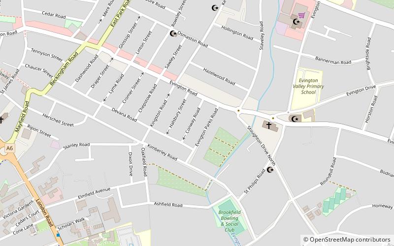
Evington Valley is an area in Leicester, England. It is roughly bounded by East Park Road to the west, Chesterfield/Ethel Road to the north, Wakerly Road to the east and to the south borders Stoneygate. The population of the area falls within the Evington ward of Leicester City Council. ()
Coordinates: 52°37'27"N, 1°6'22"W
Address
Leicester South (Stoneygate)Leicester
ContactAdd
Social media
Add
Getting there by public transportation
Public transportation stops near this location
- Bus
- Train
 Bus
Bus
- Calculate routeLeicester 24 min walk
- Calculate routeHaymarket Bus Station 37 min walk
- Calculate routeLeicester, St Margaret's Bus Station 41 min walk
- Calculate routeSt Margaret's Bus Station 41 min walk
Day trips


Frequently Asked Questions (FAQ)
Which popular attractions are close to Evington Valley?
Nearby attractions include Masjid Umar, Leicester (5 min walk), St James the Greater, Leicester (10 min walk), Clarendon Park Congregational Church, Leicester (12 min walk), Trident Galleries, Leicester (14 min walk).
How to get to Evington Valley by public transport?
The nearest stations to Evington Valley:
Train
Bus
Train
- Leicester (24 min walk)
Bus
- Haymarket Bus Station (37 min walk)
- Leicester, St Margaret's Bus Station • Lines: 308 (41 min walk)