Upminster Bridge, Upminster
Map

Map

Facts and practical information
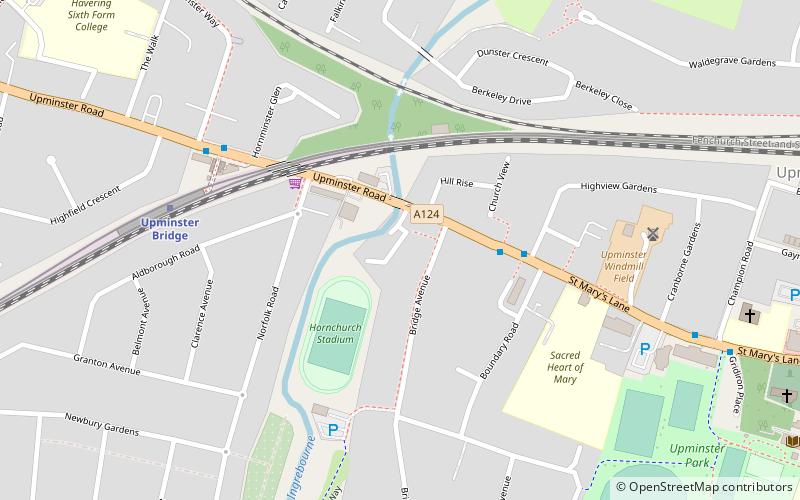
Upminster Bridge is a crossing of the River Ingrebourne carrying the A124 road between the suburbs of Hornchurch and Upminster in northeast London, England. The bridge is known to have existed since at least 1375 and the current brick bridge was opened in 1892, replacing a series of wooden bridges. It gave its name to the nearby Upminster Bridge tube station, which opened in 1934, and has also been applied to the neighbourhood around the station in the London Borough of Havering. ()
Coordinates: 51°33'28"N, 0°14'23"E
Address
Havering (Upminster)Upminster
ContactAdd
Social media
Add
Day trips
Upminster Bridge – popular in the area (distance from the attraction)
Nearby attractions include: Hornchurch Stadium, Upminster Windmill, Langtons, Roomes.


