London Borough of Havering, South Ockendon
Map
Facts and practical information
The London Borough of Havering in East London, England, forms part of Outer London. It has a population of 259,552 inhabitants; the principal town is Romford, while other communities are Hornchurch, Upminster, Collier Row and Rainham. The borough is mainly suburban, with large areas of protected open space. Romford is a major retail and night time entertainment centre, and to the south the borough extends into the London Riverside redevelopment area of the Thames Gateway. The name Havering is a reference to the Royal Liberty of Havering which occupied the area for several centuries. The local authority is Havering London Borough Council. It is the easternmost London borough. ()
Address
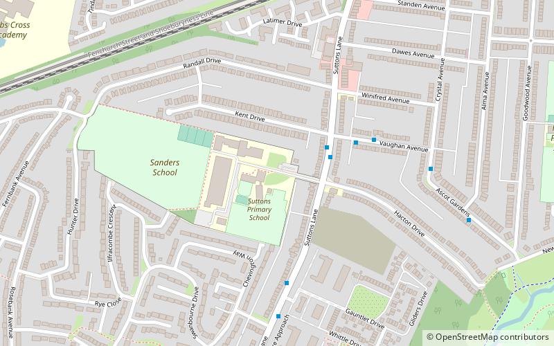
Havering (Hacton)South Ockendon
ContactAdd
Social media
Add
Getting there by public transportation
Public transportation stops near this location
- Metro
- Bus
 Metro
Metro
- Calculate routeVaughan Avenue 2 min walk
- Calculate routeHail & Ride Vaughan Avenue 4 min walk
- Calculate routeSt George's Park 5 min walk
- Calculate routeHornchurch 7 min walk
- Calculate routeElm Park 22 min walk
- Calculate routeUpminster Bridge 25 min walk
Day trips


Frequently Asked Questions (FAQ)
Which popular attractions are close to London Borough of Havering?
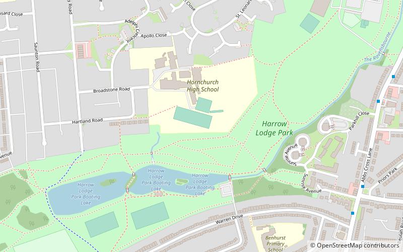
Nearby attractions include London/Hornchurch, London (20 min walk), Harrow Lodge Park, South Ockendon (22 min walk), Ingrebourne Valley, South Ockendon (23 min walk), Hornchurch Country Park, South Ockendon (23 min walk).
How to get to London Borough of Havering by public transport?
The nearest stations to London Borough of Havering:
Bus
Metro
Bus
- Vaughan Avenue • Lines: 252, 256, 652 (2 min walk)
- Hail & Ride Vaughan Avenue • Lines: 193 (4 min walk)
Metro
- Hornchurch • Lines: District (7 min walk)
- Elm Park • Lines: District (22 min walk)