London/Hornchurch, London

Facts and practical information
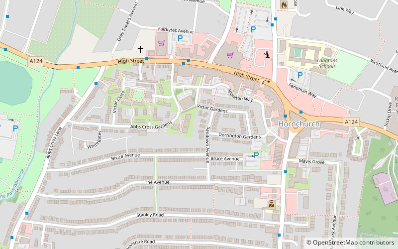
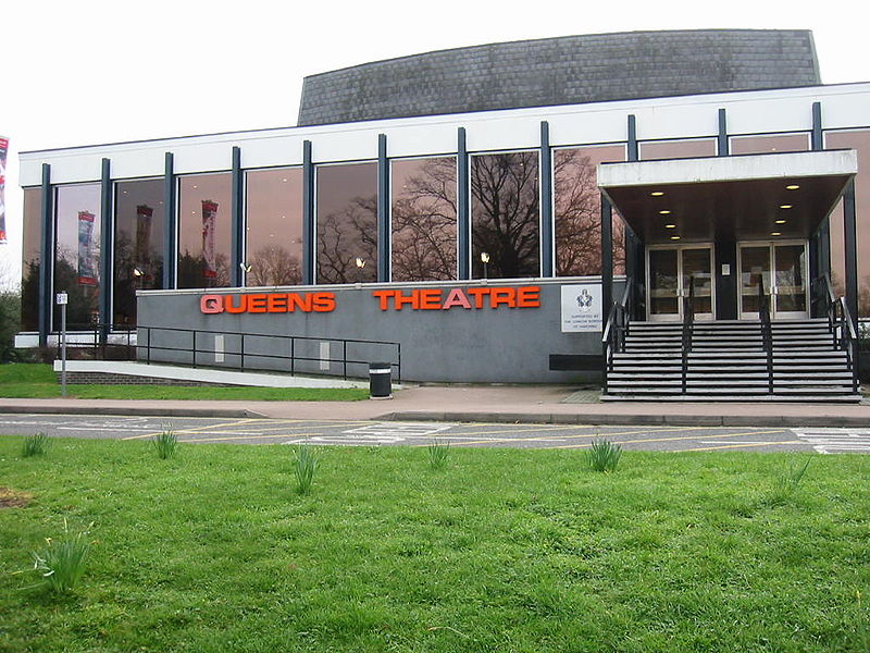
Hornchurch is a suburban town in East London, England, and part of the London Borough of Havering. It is located 15.2 miles east-northeast of Charing Cross. It comprises a number of shopping streets and a large residential area. It historically formed a large ancient parish in the county of Essex that became the manor and liberty of Havering. The economic history of Hornchurch is underpinned by a shift away from agriculture to other industries with the growing significance of nearby Romford as a market town and centre of administration. As part of the suburban growth of London in the 20th century, Hornchurch significantly expanded and increased in population, becoming an urban district in 1926 and has formed part of Greater London since 1965. It is the location of Queen's Theatre, Havering Sixth Form College and Havering College of Further and Higher Education. ()
Havering (Hornchurch)London
- Metro
- Bus
- Train
 Metro
Metro
- Calculate routeBillet Lane 4 min walk
- Calculate routeHornchurch Town Centre 5 min walk
- Calculate routeThe Avenue 5 min walk
- Calculate routeAbbs Cross Lane 6 min walk
- Calculate routeHornchurch 14 min walk
- Calculate routeUpminster Bridge 21 min walk
- Calculate routeElm Park 30 min walk
- Calculate routeEmerson Park 14 min walk
 Tube
Tube


Frequently Asked Questions (FAQ)
Which popular attractions are close to London/Hornchurch?
How to get to London/Hornchurch by public transport?
Bus
- Billet Lane • Lines: 165, 372 (4 min walk)
- Hornchurch Town Centre • Lines: 165, 193, 248, 252, 256, 370, 372, 646, 652 (5 min walk)
Metro
- Hornchurch • Lines: District (14 min walk)
- Upminster Bridge • Lines: District (21 min walk)
Train
- Emerson Park (14 min walk)