Kenley, Warlingham
Map

Map

Facts and practical information
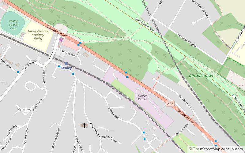
Kenley is an area of south London, England, within the London Borough of Croydon. It is situated south of Purley, east of Coulsdon, north of Caterham and Whyteleafe and west of Sanderstead, and 13 miles south of Charing Cross. At the 2011 Census, Kenley had a population of 14,966. ()
Address
Croydon (Kenley)Warlingham
ContactAdd
Social media
Add
Day trips
Kenley – popular in the area (distance from the attraction)
Nearby attractions include: Croham Hurst, Selsdon Wood, Roundshaw Downs, Colonnades Leisure Park.
Frequently Asked Questions (FAQ)
Which popular attractions are close to Kenley?
Nearby attractions include Riddlesdown Common, Warlingham (5 min walk), London Borough of Croydon, Warlingham (22 min walk).
How to get to Kenley by public transport?
The nearest stations to Kenley:
Bus
Train
Bus
- Kenley Treatment Works • Lines: 407 (1 min walk)
- The Kenley Hotel / Kenley Station • Lines: 407 (5 min walk)
Train
- Kenley (5 min walk)
- Riddlesdown (16 min walk)


