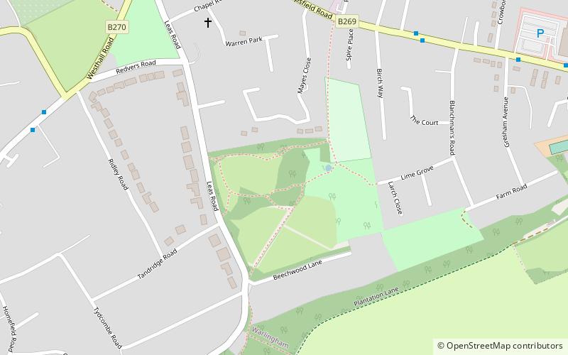
Blanchman's Farm, Warlingham
Map

Map

Facts and practical information
Blanchman's Farm is a 9.4-hectare Local Nature Reserve in Warlingham in Surrey. It is owned by Tandridge District Council and managed by the Blanchman's Farm Committee and the Downlands Countryside Project. ()
Elevation: 614 ft a.s.l.Coordinates: 51°18'18"N, 0°3'7"W
Address
Warlingham
ContactAdd
Social media
Add
Day trips
Blanchman's Farm – popular in the area (distance from the attraction)
Nearby attractions include: Surrey National Golf Club, Selsdon Wood, Littleheath Woods, Sacred Heart Church.
Frequently Asked Questions (FAQ)
How to get to Blanchman's Farm by public transport?
The nearest stations to Blanchman's Farm:
Bus
Train
Bus
- Marks Road • Lines: 403, 409, 411, 658 (7 min walk)
- Hillbury Road • Lines: 409, 411, 658 (9 min walk)
Train
- Woldingham (27 min walk)
- Whyteleafe South (28 min walk)


