Woodingdean, Brighton
Map
Gallery
Facts and practical information
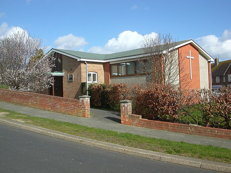
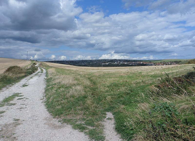
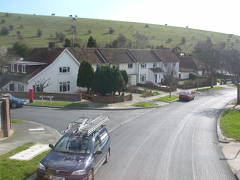
Woodingdean is an eastern suburb of the city of Brighton and Hove, East Sussex, separated from the main part of the city by downland and the Brighton Racecourse. The name Woodingdean came from Woodendean Farm which was situated in the south end of what is now Ovingdean. ()
Address
WoodingdeanBrighton
ContactAdd
Social media
Add
Day trips
Woodingdean – popular in the area (distance from the attraction)
Nearby attractions include: Falmer Stadium, Whitehawk Camp, Queen's Park, Beacon Mill.
Frequently Asked Questions (FAQ)
How to get to Woodingdean by public transport?
The nearest stations to Woodingdean:
Bus
Bus
- Crescent Drive North • Lines: 2 (1 min walk)
- Warren Way • Lines: 2 (3 min walk)


