Orwell Bridge, Ipswich
Map

Gallery

Facts and practical information
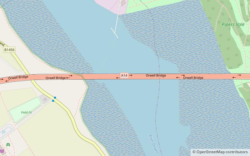
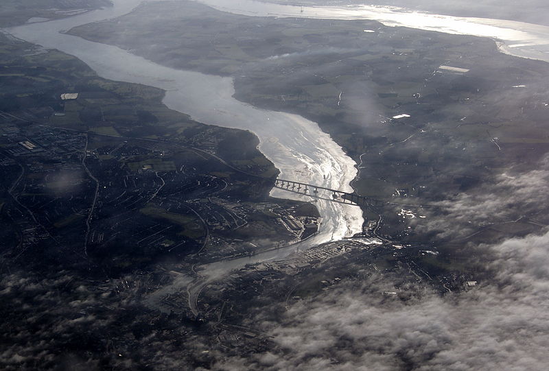
The Orwell Bridge is a concrete box girder bridge just south of Ipswich in Suffolk, England. Opened to road traffic in 1982, the bridge carries the A14 road over the River Orwell. ()
Completed: 1982 (44 years ago)Length: 3281 ftWidth: 79 ftHeight: 141 ftCoordinates: 52°1'37"N, 1°9'53"E
Day trips
Orwell Bridge – popular in the area (distance from the attraction)
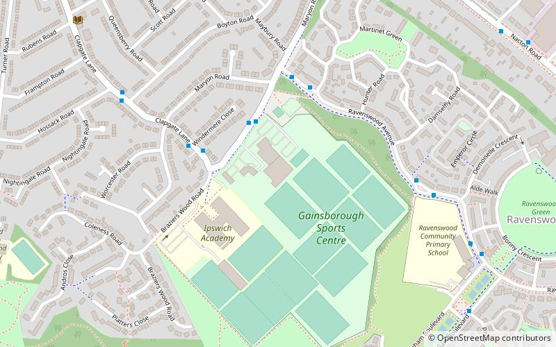
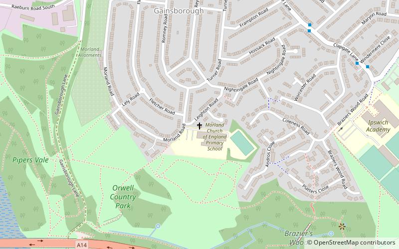
Nearby attractions include: Ipswich Gymnastics Centre, Landseer Park, Pipers Vale, Fox's Marina & Boatyard.
Frequently Asked Questions (FAQ)
Which popular attractions are close to Orwell Bridge?
Nearby attractions include Pipers Vale, Ipswich (10 min walk), Leighton Road Evangelical Church, Ipswich (17 min walk), Fox's Marina & Boatyard, Ipswich (18 min walk), Wherstead Park, Ipswich (23 min walk).
How to get to Orwell Bridge by public transport?
The nearest stations to Orwell Bridge:
Bus
Bus
- Red House • Lines: 92 (6 min walk)
- The Strand • Lines: 92 (14 min walk)


