Ipswich Gymnastics Centre, Ipswich
Map
Facts and practical information
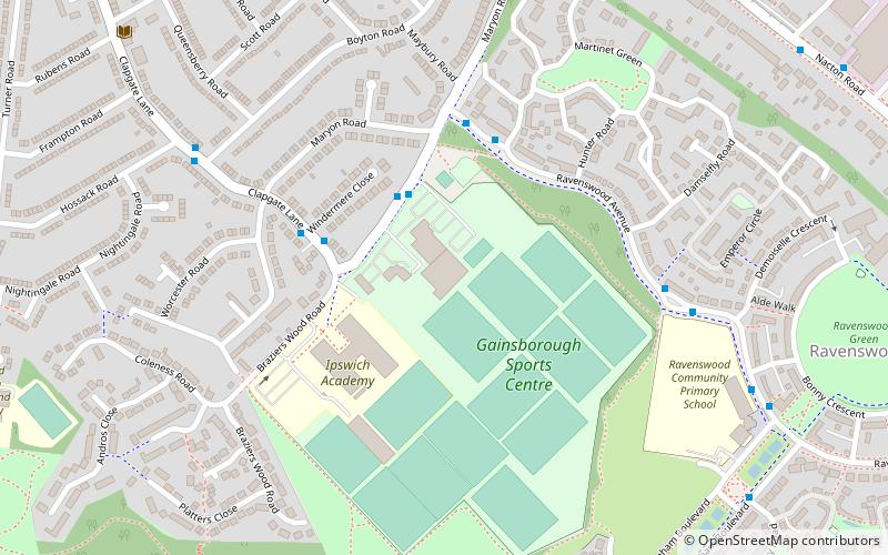
Ipswich Gymnastics Centre in Ipswich is one of only three fully London Organising Committee for the Olympic Games accredited gymnastics facilities in the United Kingdom and was used for training sessions in the run up to the 2004 Olympic Games by the Romanian gymnastics team. ()
Coordinates: 52°1'52"N, 1°11'20"E
Address
South East Ipswich (Priory Heath)Ipswich
ContactAdd
Social media
Add
Getting there by public transportation
Public transportation stops near this location
- Bus
 Bus
Bus
- Calculate routeSports Centre 2 min walk
- Calculate routeWindermere Close 3 min walk
- Calculate routeRavenswood Busway 4 min walk
Day trips


Frequently Asked Questions (FAQ)
Which popular attractions are close to Ipswich Gymnastics Centre?
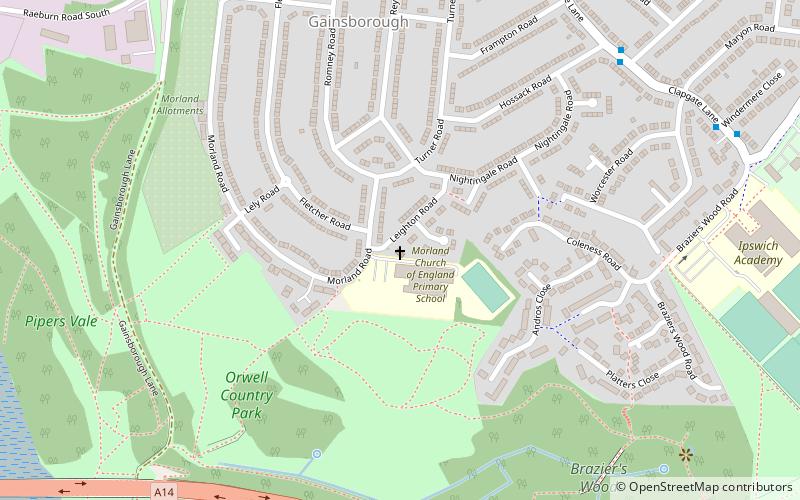
Nearby attractions include Leighton Road Evangelical Church, Ipswich (11 min walk), Alnesbourne Priory, Ipswich (17 min walk), Ipswich Transport Museum, Ipswich (19 min walk), Pipers Vale, Ipswich (20 min walk).
How to get to Ipswich Gymnastics Centre by public transport?
The nearest stations to Ipswich Gymnastics Centre:
Bus
Bus
- Sports Centre • Lines: 1, 2 (2 min walk)
- Windermere Close • Lines: 1, 2 (3 min walk)