Woodston, Peterborough
Map

Map

Facts and practical information
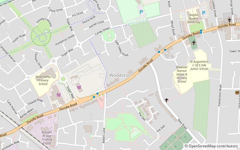
Woodston is a largely residential and industrial area of the city of Peterborough, Cambridgeshire in the United Kingdom. For electoral purposes, it forms part of Fletton ward in North West Cambridgeshire constituency. Oundle Road runs through most of Woodston into the Ortons. ()
Coordinates: 52°33'49"N, 0°15'26"W
Address
Peterborough
ContactAdd
Social media
Add
Day trips
Woodston – popular in the area (distance from the attraction)
Nearby attractions include: Peterborough Cathedral, Queensgate shopping centre, Peterborough Lido, Peterborough Guildhall.
Frequently Asked Questions (FAQ)
Which popular attractions are close to Woodston?
Nearby attractions include St Olga Ukrainian Catholic Church, Peterborough (5 min walk), The Boardwalks, Peterborough (11 min walk), Woodston Ponds, Peterborough (11 min walk), Railworld, Peterborough (13 min walk).
How to get to Woodston by public transport?
The nearest stations to Woodston:
Bus
Train
Bus
- Opposite Esso • Lines: 1 (3 min walk)
- Oundle Road, Adjacent Bakers Lane • Lines: 1 (3 min walk)
Train
- Peterborough (21 min walk)
- Orton Mere (26 min walk)


