Osney, Oxford

Gallery (2)
Map


Map
Gallery
Facts and practical information
Osney or Osney Island is a riverside community in the west of the city of Oxford, England. In modern times the name is applied to a community also known as Osney Town astride Botley Road, just west of the city's main railway station, on an island surrounded by the River Thames, Osney Ditch and another backwater connecting the Thames to Osney Ditch. ()
Coordinates: 51°45'7"N, 1°16'26"W
Getting there by public transportation
Public transportation stops near this location
- Bus
- Train
 Bus
Bus
- Calculate routeOsney Island 1 min walk
- Calculate routeBinsey Lane 7 min walk
- Calculate routePark End Street 9 min walk
- Calculate routeLamarsh Road 12 min walk
- Calculate routeOxford 6 min walk
Day trips


Frequently Asked Questions (FAQ)
Which popular attractions are close to Osney?
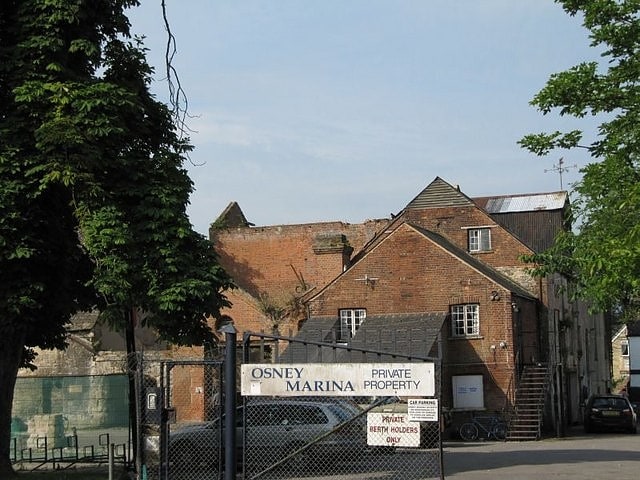
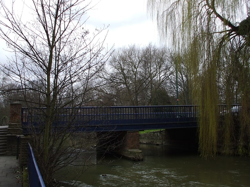
Nearby attractions include St Frideswide's Church, Oxford (2 min walk), Osney Bridge, Oxford (2 min walk), Ferry Hinksey Road, Oxford (4 min walk), Osney Mill Marina, Oxford (5 min walk).
How to get to Osney by public transport?
The nearest stations to Osney:
Bus
Train
Bus
- Osney Island • Lines: 4, 4A, 4B, 4C, S1, U1 (1 min walk)
- Binsey Lane • Lines: 4, 4A, 4B, 4C, S1, U1 (7 min walk)
Train
- Oxford (6 min walk)