Hanging Sword Alley, London
Map
Facts and practical information
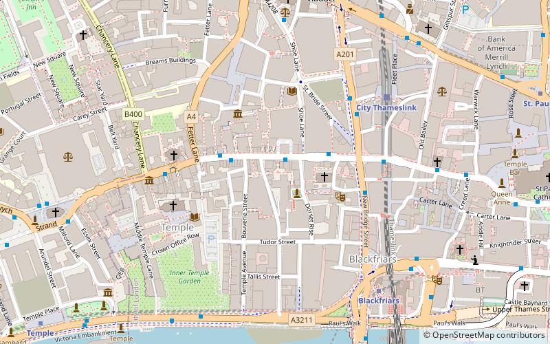
Hanging Sword Alley is an alley in the Alsatia district of London, running between Whitefriars Street and Salisbury Square, close to Fleet Street. ()
Coordinates: 51°30'50"N, 0°6'25"W
Address
City of London (Castle Baynard)London
ContactAdd
Social media
Add
Getting there by public transportation
Public transportation stops near this location
- Metro
- Bus
- Light rail
- Train
- Ferry
 Metro
Metro
- Calculate routeShoe Lane 1 min walk
- Calculate routeFetter Lane 2 min walk
- Calculate routeLudgate Circus 2 min walk
- Calculate routeCity Thameslink Station / Ludgate Circus 4 min walk
- Calculate routeCity Thameslink 5 min walk
- Calculate routeLondon Blackfriars 8 min walk
- Calculate routeWaterloo East 18 min walk
- Calculate routeLondon Cannon Street 19 min walk
- Calculate routeBlackfriars Pier 9 min walk
- Calculate routeBankside Pier 15 min walk
- Calculate routeFestival Pier 17 min walk
- Calculate routeEmbankment 20 min walk
- Calculate routeSt. Paul's 10 min walk
- Calculate routeChancery Lane 10 min walk
- Calculate routeTemple 10 min walk
- Calculate routeFarringdon 12 min walk
- Calculate routeBank Platform 10 21 min walk
Maps Tube
Tube
TubeDay trips
Hanging Sword Alley – popular in the area (distance from the attraction)
Nearby attractions include: Two Temple Place, Temple Church, Twinings, Ye Olde Cheshire Cheese.


Frequently Asked Questions (FAQ)
Which popular attractions are close to Hanging Sword Alley?
Nearby attractions include Prince Henry's Room, London (2 min walk), Salisbury Square, London (2 min walk), Dr Johnson's House, London (3 min walk), St Bride's Church, London (3 min walk).
How to get to Hanging Sword Alley by public transport?
The nearest stations to Hanging Sword Alley:
Bus
Train
Ferry
Metro
Light rail
Bus
- Shoe Lane • Lines: 26, N26 (1 min walk)
- Fetter Lane • Lines: 26, N26 (2 min walk)
Train
- City Thameslink (5 min walk)
- London Blackfriars (8 min walk)
Ferry
- Blackfriars Pier • Lines: Rb6 (9 min walk)
- Bankside Pier • Lines: Green Tour, Rb1, Rb1X, Rb2 (15 min walk)
Metro
- St. Paul's • Lines: Central (10 min walk)
- Chancery Lane • Lines: Central (10 min walk)
Light rail
- Bank Platform 10 • Lines: B-L, B-Wa (21 min walk)