Haste Hill, Beacon Hill

Map
Facts and practical information
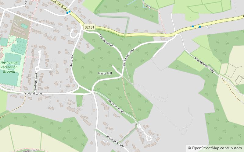
Haste Hill is a hill near Haslemere, Surrey in England which was probably the original settlement of the town of Haslemere. It was used as the site of a semaphore station in the nineteenth century. ()
Coordinates: 51°4'56"N, 0°42'4"W
Address
Beacon Hill
ContactAdd
Social media
Add
Day trips
Haste Hill – popular in the area (distance from the attraction)
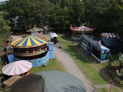
Nearby attractions include: Hollycombe Steam Collection, Ramster, Ludshott Common and Waggoners Wells, Blackdown.
Frequently Asked Questions (FAQ)
How to get to Haste Hill by public transport?
The nearest stations to Haste Hill:
Bus
Train
Bus
- Town Hall • Lines: 13, 23 (15 min walk)
- Shepherd's Hill • Lines: 13 (17 min walk)
Train
- Haslemere (24 min walk)


