Mastrick, Aberdeen

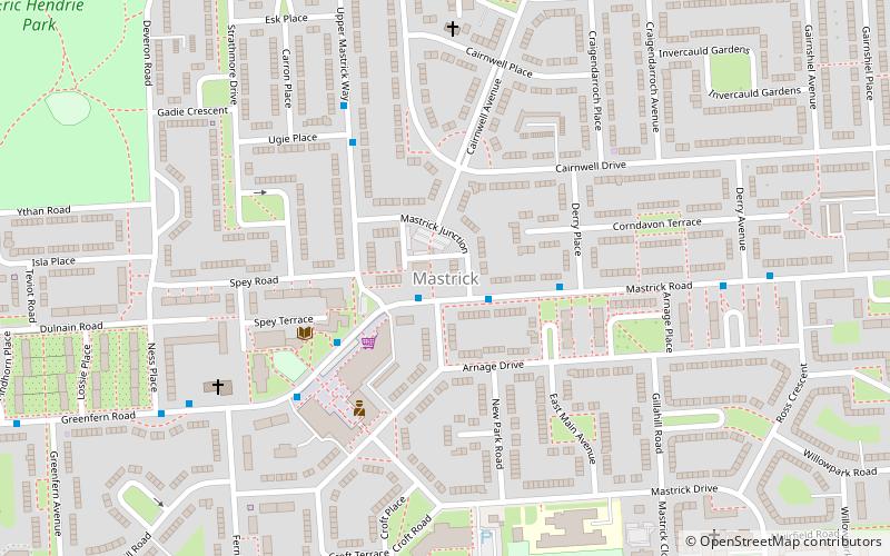
Map
Facts and practical information
Mastrick is an area of Aberdeen, Scotland, located on the western fringes of the city around 2.5 miles from the city centre. It currently has a population of 7,365 and an unemployment rate of 1.6%. Residential property in the area is a mix of houses and flats, 23% of which are still council owned. This is around twice the average in Aberdeen City. ()
Coordinates: 57°9'25"N, 2°9'36"W
Day trips
Mastrick – popular in the area (distance from the attraction)
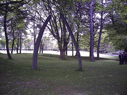
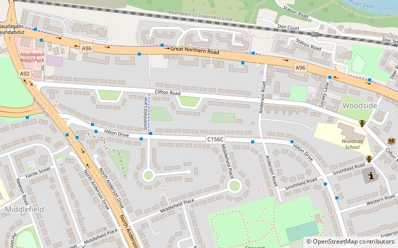
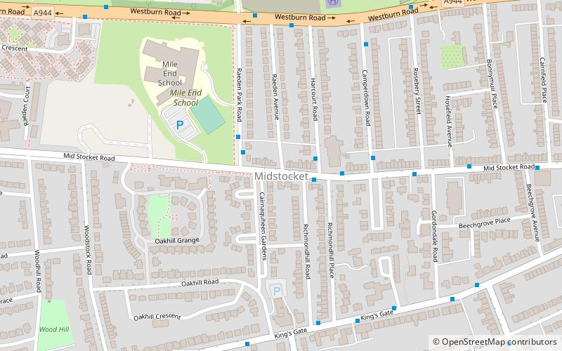
Nearby attractions include: Stewart Park, Hazlehead Park, Rubislaw Church, Queen's Cross.
Frequently Asked Questions (FAQ)
How to get to Mastrick by public transport?
The nearest stations to Mastrick:
Bus
Bus
- Manor Drive • Lines: 727 (31 min walk)
- North Anderson Drive • Lines: 727 (33 min walk)


