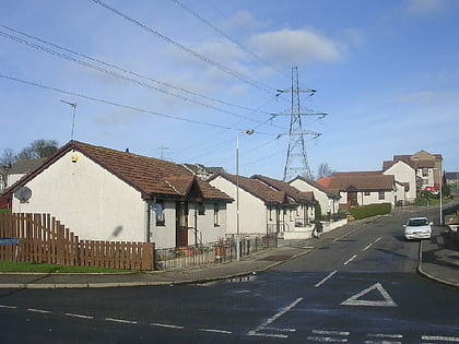
Woodside, Aberdeen
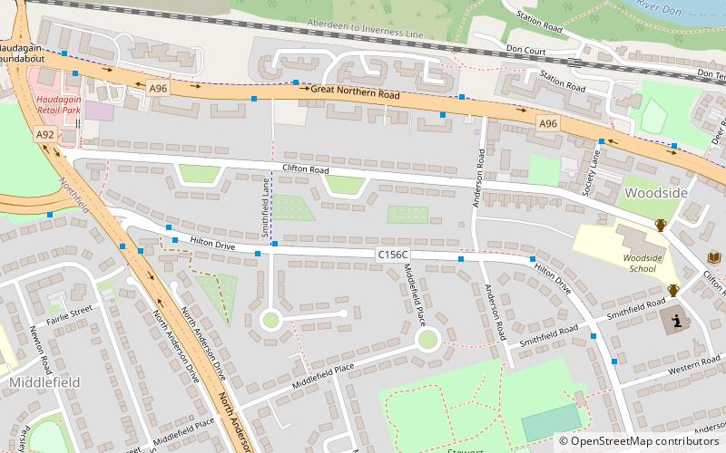
Map
Facts and practical information
Woodside is part of the city of Aberdeen. It came into existence as a quoad sacra parish within the parish of Old Machar in 1834, under an act of The General Assembly of the Church of Scotland of 31 May 1834, and was named for the principal residence of the area, Woodside House. ()
Coordinates: 57°10'15"N, 2°8'13"W
Day trips
Woodside – popular in the area (distance from the attraction)
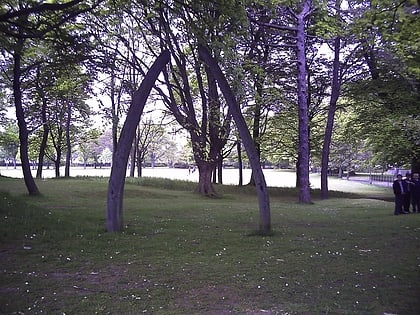
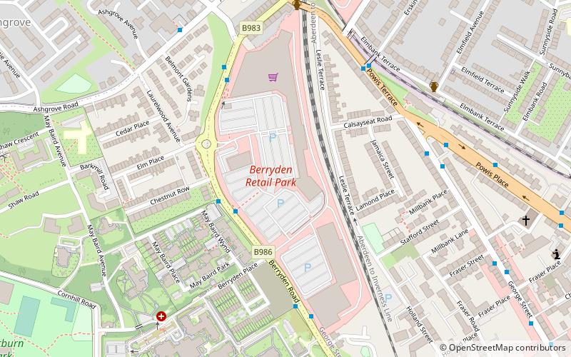
Nearby attractions include: Stewart Park, Cruickshank Botanic Garden, Westburn Park, Berryden.
Frequently Asked Questions (FAQ)
Which popular attractions are close to Woodside?
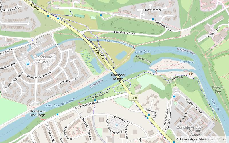
Nearby attractions include Stewart Park, Aberdeen (6 min walk), Lang Stane of Hilton, Aberdeen (11 min walk), Danestone, Aberdeen (20 min walk), Diamond Bridge, Aberdeen (21 min walk).
How to get to Woodside by public transport?
The nearest stations to Woodside:
Bus
Bus
- Anderson Road • Lines: 727 (4 min walk)
- Smithfield Lane • Lines: 727 (4 min walk)
