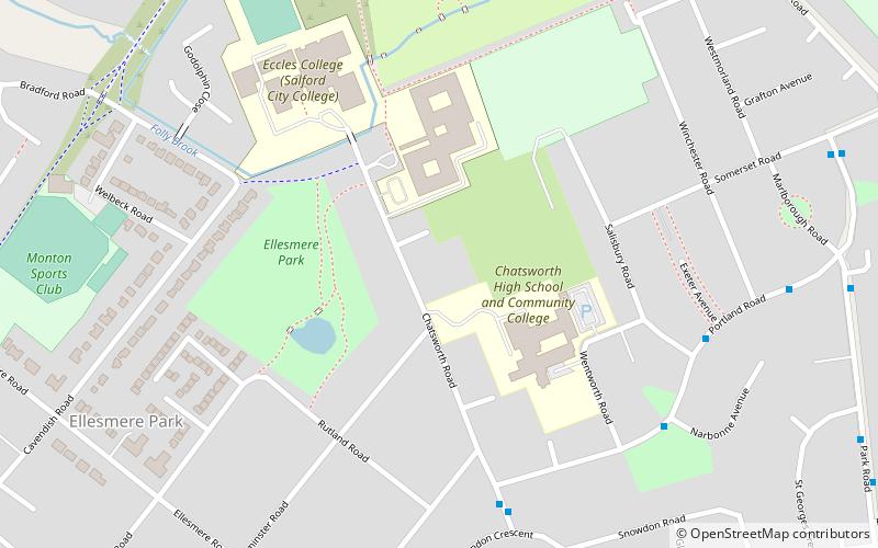
Ellesmere Park, Manchester
Map
Facts and practical information
Ellesmere Park is an area of Eccles, in Greater Manchester, England. Historically part of Lancashire, Ellesmere Park today is an affluent, predominantly residential area. ()
Coordinates: 53°29'37"N, 2°20'10"W
Address
Salford (Eccles)Manchester
ContactAdd
Social media
Add
Getting there by public transportation
Public transportation stops near this location
- Bus
- Tram
- Train
 Bus
Bus
- Calculate routeWellington Road/Monks Hall Grove 14 min walk
- Calculate routeMonton Road/Cavendish Road 15 min walk
- Calculate routeLancaster Road/Hayfield Road 16 min walk
- Calculate routeEccles 15 min walk
- Calculate routePatricroft 28 min walk
- Calculate routeEccles 19 min walk
- Calculate routeLadywell 20 min walk
- Calculate routeWeaste 36 min walk
Maps MetrolinkMaps
 Metrolink / Rail
MetrolinkMapsMetrolink / RailDay trips


Frequently Asked Questions (FAQ)
Which popular attractions are close to Ellesmere Park?
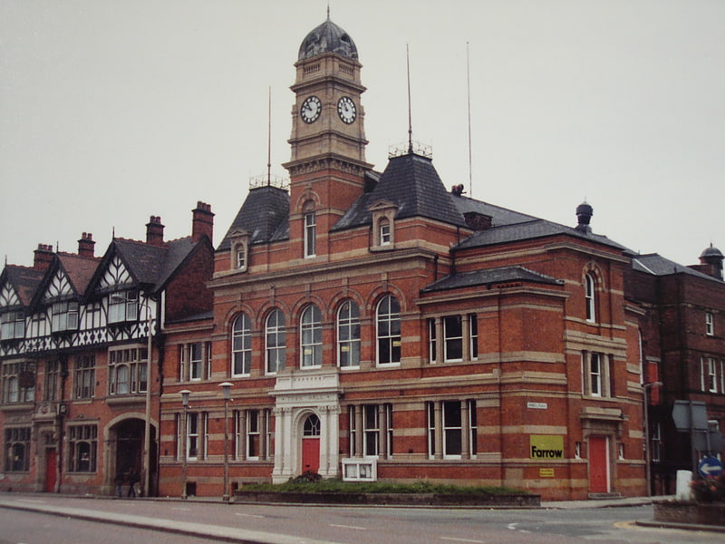
Nearby attractions include Church of St Mary the Virgin, Manchester (17 min walk), Eccles, Manchester (17 min walk), Eccles Town Hall, Manchester (20 min walk), Greater Manchester Police Museum, Manchester (23 min walk).
How to get to Ellesmere Park by public transport?
The nearest stations to Ellesmere Park:
Bus
Train
Tram
Bus
- Wellington Road/Monks Hall Grove • Lines: 33 (14 min walk)
- Monton Road/Cavendish Road • Lines: 33 (15 min walk)
Train
- Eccles (15 min walk)
- Patricroft (28 min walk)
Tram
- Eccles • Lines: Asht, Eccl (19 min walk)
- Ladywell • Lines: Asht, Eccl (20 min walk)