Southgate, London
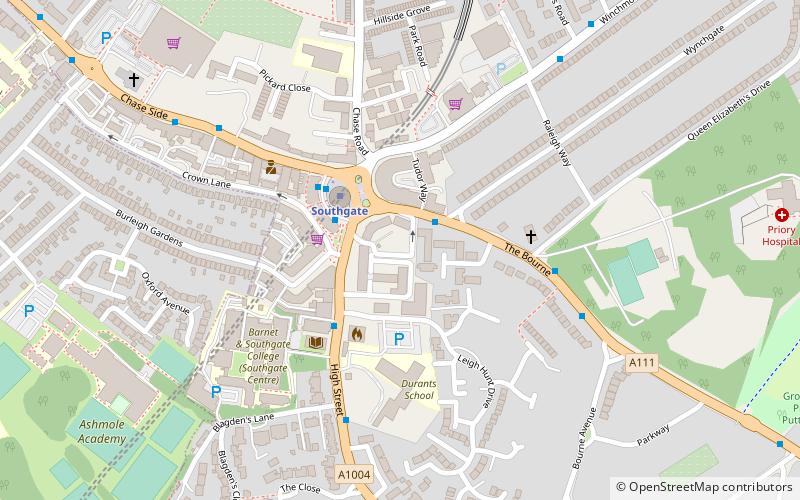
Map
Facts and practical information
Southgate is a suburban area of North London, England in the London Borough of Enfield. It is located around 8 miles north of Charing Cross. The name is derived from being the south gate to Enfield Chase. ()
Getting there by public transportation
Public transportation stops near this location
- Metro
- Bus
- Train
 Metro
Metro
- Calculate routeHail & Ride Bourneside Crescent 2 min walk
- Calculate routeSouthgate Station 2 min walk
- Calculate routeSouthgate College 4 min walk
- Calculate routeSouthgate 2 min walk
- Calculate routeOakwood 29 min walk
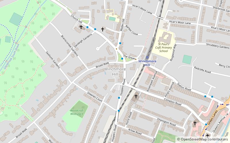
- Calculate routeWinchmore Hill 29 min walk
- Calculate routePalmers Green 30 min walk
Maps Tube
Tube
TubeDay trips


Frequently Asked Questions (FAQ)
Which popular attractions are close to Southgate?
Nearby attractions include Southgate Methodist Church, London (4 min walk), Grovelands Park, London (15 min walk), Oakwood, London (21 min walk).
How to get to Southgate by public transport?
The nearest stations to Southgate:
Bus
Metro
Train
Bus
- Hail & Ride Bourneside Crescent • Lines: W9 (2 min walk)
- Southgate Station • Lines: 121, 125, 298, 299, 382, 616, 628, 688, 692, 699, N91, W6, W9 (2 min walk)
Metro
- Southgate • Lines: Piccadilly (2 min walk)
- Oakwood • Lines: Piccadilly (29 min walk)
Train
- Winchmore Hill (29 min walk)
- Palmers Green (30 min walk)